

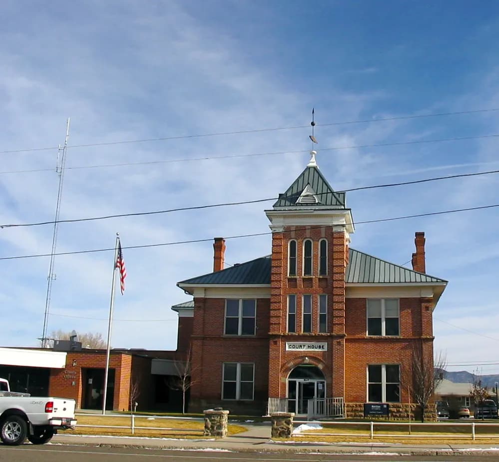
Photo: Cornellrockey04 (CC BY-SA 2.5) via Wikimedia Commons
Garfield County, UT Contractor directory
Excavation contractors in Garfield County, UT
3 verified excavating and site work contractors serving Garfield County.
County excavation guide
Ground conditions and project requirements in Garfield County
Use this local research to understand soil, seasonal constraints, permits, and jobsite logistics before choosing a contractor.
Skip to 3 contractorsSoil Regime ProfileEPA Ecoregion 20, 21 (Colorado Plateaus, Southern Rockies)
Colorado Plateau Canyonlands Shallow Sandstone & Boulder Fields
Dominant Soil Order: Aridisols / Entisols
Parent Material: Eolian sand, residual sandstone and shale saprolite over flat-lying sedimentary bedrock, and colluvial boulder fields
Eastern and southern Utah are stripped-bedrock canyon country, and excavation there is rock work from the start. Soils are shallow, median restrictive depths land between 14 and 23 inches, and sit on flat-lying sandstone, shale, and limestone strata that fracture into massive boulders at the surface and in the cut. The dominant textures are sandy loams, fine sandy loams, and loamy fine sands over weathered shale and sandstone, with stony and bouldery ground running 55 to 87 percent of the area in the roughest counties. Mass excavation quickly becomes rock excavation: benches must be cut into bedded strata, and ripper bars, hydraulic hammers, or hoe-rams are the standard kit rather than a contingency. The sandstone rips well where jointed but slab-free intact rib rock stops a blade cold; shale weathers to slick, expansive clay that swells under slabs and ruins subgrade uniformity when wet. Steep terrain, 33 to 62 percent of the land at 15 percent slope or more, pushes earthwork into benched side-hill cuts and long hauls between canyon floors and rims. Water tables are deep and rarely a dewatering concern; the binding constraint is rock hardness, haul distances off high mesas, and crushed-rock borrow to make structural backfill. Summer monsoon runoff channels into slot canyons and washes and can flash-fill open trenches in minutes, so shoring, spoil setbacks, and daily weather calls are non-negotiable.
Geographic Footprint:Covers the red-rock canyonlands from Emery and Carbon east into Grand, San Juan, Kane, Wayne, and the Uinta/Duchesne basins, large, low-population counties where contractors must mobilize heavy rock-breaking equipment and long hauls.
Geotechnical Baseline
Physical Ground Conditions & Soil Properties
Shallow Bedrock (<50 in)
23.8%of county land area
Moderate rock encounters along ridges and upper slope shoulders.
High Shrink-Swell Clay
1.8%expansive soil
Low volumetric expansion risk in native subgrade.
Median Water Table Depth
12inches from surface
Shallow water table; active dewatering or sumps needed for deep trenching.
Hydric / Wetland Soils
0.8%hydric coverage
Indicates poor natural drainage and potential jurisdictional wetland pockets.
Steep Terrain (Slope >15%)
54.3%of terrain
Mountain/hilly terrain; terracing, benching, and tracked haulers frequent.
Septic Severe Limitations
83.4%severe rate
High rate of conventional drainfield limitations; engineered or drip systems often required.
Dominant Soil Textures:LoamSandy loamSilt loam
Surface Stones / Boulders: 59.1% coverage
Compliance & Permitting
Earthwork Regulations & Permit Thresholds
Stormwater & Erosion Control
UPDES Construction General Permit (CGP) UTRC00000 (Utah Admin. Code R317-8; >1 acre, or <1 acre part of a common plan of development/sale >1 acre)
Administers NPDES stormwater discharge coverage for land-disturbing construction activities.
State Threshold:1.00 Acre
Local Threshold:Follows state
Grading Permit: No separate county grading permit
Onsite Wastewater & Utilities
Utah Department of Environmental Quality, Division of Water Quality
Jurisdiction over septic tank permits, soil evaluation perk tests, and drainfield sizing.
Housing on Septic:55.0%
Soil Evaluation:Soil evaluation and percolation testing required per R317-4, performed by DWQ-certified Onsite Professional (Level 1-3)
811 One-Call Requirements
Blue Stakes of Utah 811
Mandatory notice window: 48 hours prior to mechanized earthwork (excluding weekends and legal holidays).
Licensing & Clearing Permits
Contractor License Threshold: Required for earthwork contracts exceeding $7,000 in Utah.
Burn Permit Season: Closed fire season Jun 1-Oct 31: non-agricultural burning not permitted; agricultural fenceline/ditch burning with fire-department notification, other ag requires fire-warden/county-sheriff permit. Open season Nov 1-May 31: ag burning with notification; non-ag burning not permitted Nov-Mar, allowed Apr-May within county 30-day windowAuthority: Utah Division of Forestry, Fire & State Lands (FFSL) per Utah Code 65A-8-211; DEQ DAQ open-burning rule R307-202; county fire warden/sheriff issues permits
Weather & Ecology
Seasonal Constraints & Clearing Windows
Design Frost Depth
30inches
Building code minimum depth for footing frost protection.
Frozen Ground Days
60days / year
Typical days with sub-freezing soil conditions affecting digging.
Wet Season Months
January, August, September
Peak precipitation window requiring sediment traps and soil aeration.
Supply Chain & Hazards
Logistics, Aggregate Sources & Geohazards
Aggregate & Material Supply
Panguitch Pit
Nearest active quarry: 41.5 miles haul distance.(2 active crushed stone/sand operations within 50 miles).
Flood & Hazard Overlay
FEMA 100-Yr Flood:0.0%(25% NFHL digital map coverage)
NWI Wetlands:1.1%jurisdictional coverage
Karst Terrain & Sinkhole Risk: Low
6.8% of county underlain by soluble carbonate rock formations.
HUC8 Primary Watersheds:Beaver Bottoms-Upper Beaver, Escalante Desert, Upper Sevier, East Fork Sevier, Middle Sevier, Fremont
Public conservation land: 100.0% (USGS PAD-US).
Area-specific FAQ
Do I need to call before digging in Garfield County?
Yes. You should contact Utah 811 at least 2 working days before any digging so underground lines can be marked.
How deep do footings need to be in Utah?
In Utah, footings typically need to extend below the frost line, which is around 36 inches here. A local contractor will confirm the code requirement for your site.
Verified local listings
Excavation contractors serving Garfield County
3 verified listings
No reviews yet