
Listed on GradeLine
Check the work, service area, and contact facts before you hire.
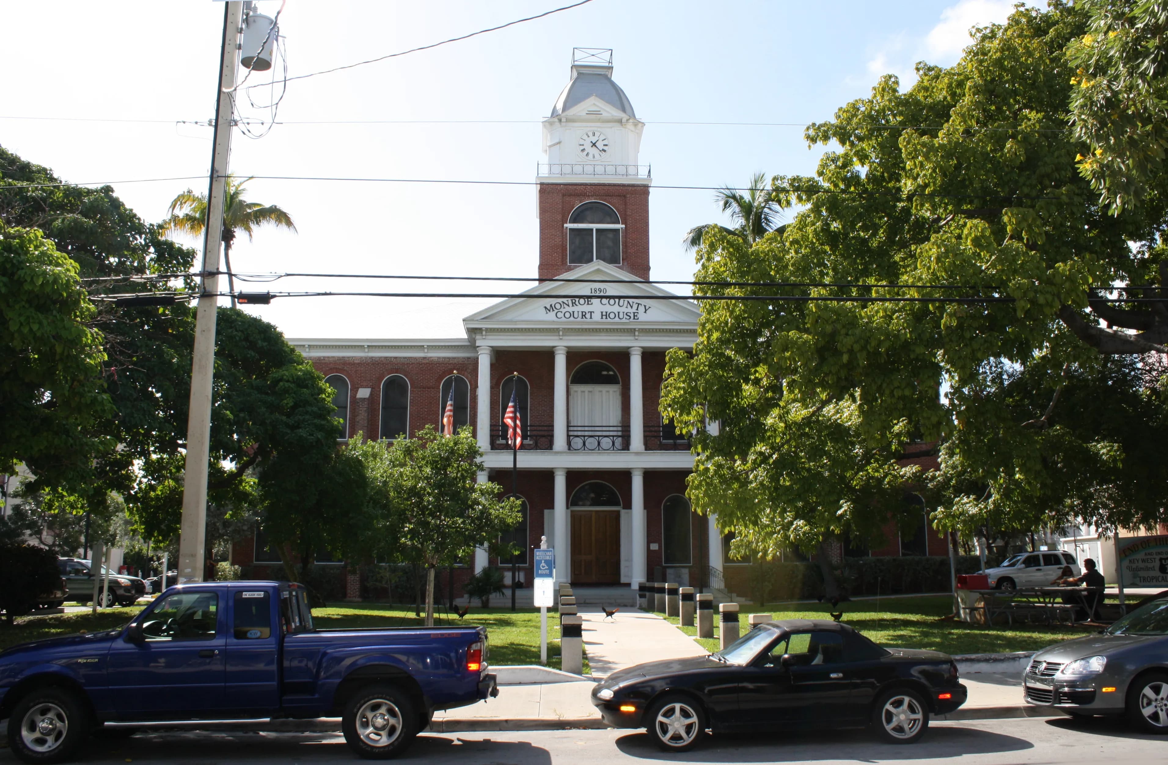
Photo: Georgia Guercio (CC BY-SA 3.0) via Wikimedia Commons
Monroe County, FL Contractor directory
7 verified excavating and site work contractors serving Monroe County.
County excavation guide
Use this local research to understand soil, seasonal constraints, permits, and jobsite logistics before choosing a contractor.
Skip to 7 contractorsSouth Florida site work is a race between peat and bedrock. Organic soils (muck, marl, and peat of the Everglades margins) run 1 to 6 feet deep and demand over-excavation and disposal or peat stripping to reach mineral subgrade; they saturate instantly and pump under wheel loads. Beneath the peat sits Miami oolite or Tamiami limestone, often within 1 to 3 feet in Miami-Dade and Broward, that digs with large toothed buckets when young and soft, but rips hard or requires hydraulic hammer work where cemented caprock layers interleave. Water control is the defining constraint: the water table sits at or near grade, canal and pump infrastructure is omnipresent, and dewatering, cofferdams, or cut-off walls are standard for any deep excavation. Wet season (May-October) effectively doubles the effort on any open cut. Expect rock quarries and marl borrow sources to dominate the haul mix rather than sand pits.
High likelihood of bedrock refusal; hammer / ripper required for deep utilities.
Low volumetric expansion risk in native subgrade.
Shallow water table; active dewatering or sumps needed for deep trenching.
Indicates poor natural drainage and potential jurisdictional wetland pockets.
Predominantly gentle to rolling slopes suitable for wheeled earthmoving.
High rate of conventional drainfield limitations; engineered or drip systems often required.
Nearest active quarry: 66.6 miles haul distance.(0 active crushed stone/sand operations within 50 miles).
Yes. You should contact Sunshine State 811 at least 2 working days before any digging so underground lines can be marked.
Verified local listings
7 verified listings
Listed on GradeLine
Check the work, service area, and contact facts before you hire.
Listed on GradeLine
Check the work, service area, and contact facts before you hire.
Listed on GradeLine
Check the work, service area, and contact facts before you hire.
No reviews yet
Listed on GradeLine
Check the work, service area, and contact facts before you hire.
No reviews yet
Listed on GradeLine
Check the work, service area, and contact facts before you hire.
Listed on GradeLine
Check the work, service area, and contact facts before you hire.
No reviews yet
Listed on GradeLine
Check the work, service area, and contact facts before you hire.