
Sky Island Restoration and Development LLC
erosion control, excavation, grading, pond water management, site prep
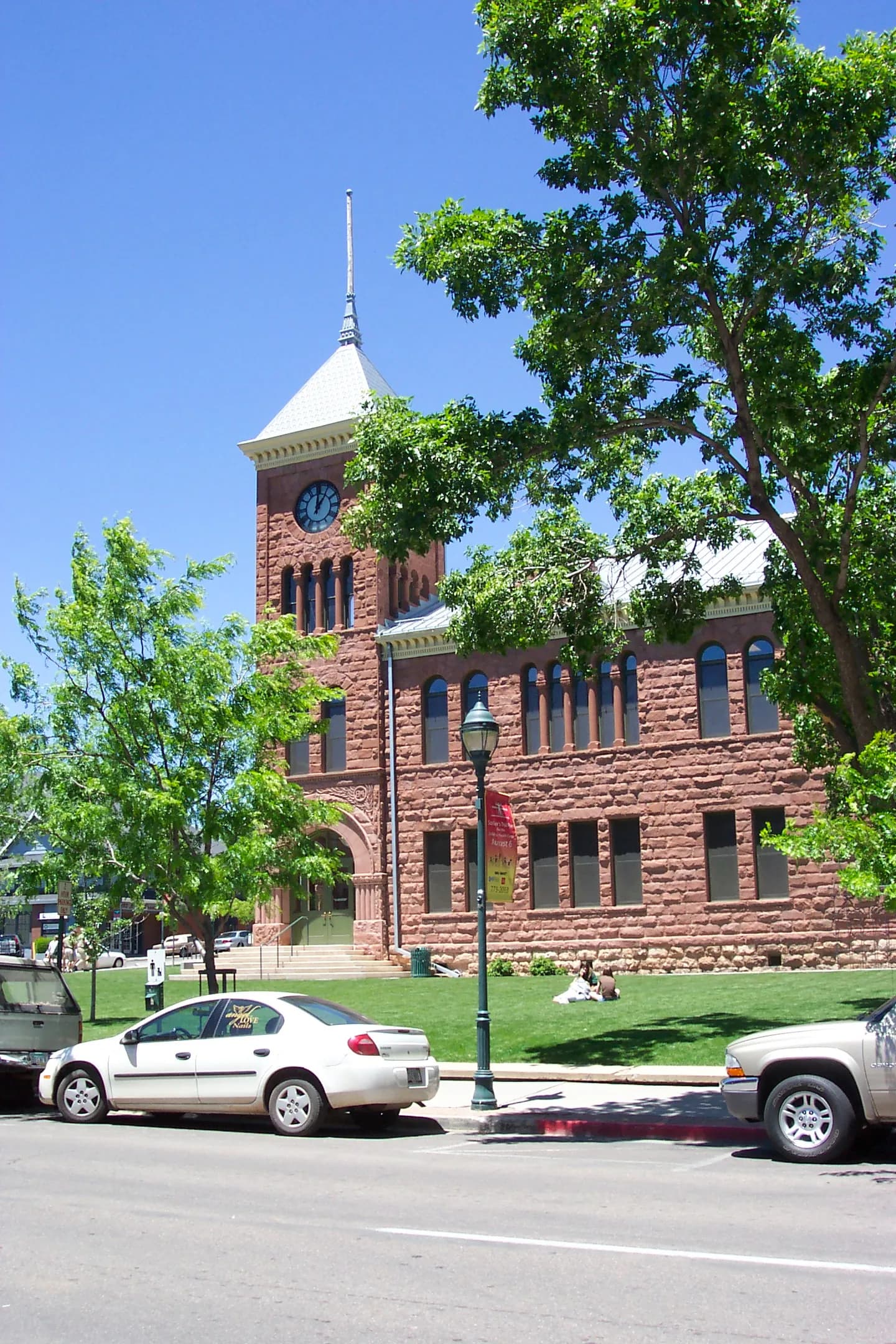
Photo: Direnzoa at English Wikipedia (Public domain) via Wikimedia Commons
Coconino County, AZ Contractor directory
25 verified excavating and site work contractors serving Coconino County.
County excavation guide
Use this local research to understand soil, seasonal constraints, permits, and jobsite logistics before choosing a contractor.
Skip to 25 contractorsThe Colorado Plateau counties of Apache, Coconino, and Navajo sit on flat-lying sandstone and shale under thin soils. SSURGO mapping shows Navajo and rock outcrop among the dominant units, with Aridisols, Mollisols, and Entisols on the surfaces. Bedrock is close enough that footings and trenches meet rock within a few feet on many sites. Shale layers slake and slide once exposed, so cut faces ravel and slump. Sandy surface soils cave when cut and blow when dry, so loose sand moves off open grading. Rock outcrop is common across the plateau, and the thin soil lies directly on the bedrock in many places. Soils here hold little water, and the shallow rock leaves little room for deep excavation or stable fill on the mesas.
High likelihood of bedrock refusal; hammer / ripper required for deep utilities.
Low volumetric expansion risk in native subgrade.
Moderate depth; seasonal wet perched water tables possible in spring.
Indicates poor natural drainage and potential jurisdictional wetland pockets.
Mountain/hilly terrain; terracing, benching, and tracked haulers frequent.
High rate of conventional drainfield limitations; engineered or drip systems often required.
Administers NPDES stormwater discharge coverage for land-disturbing construction activities.
Jurisdiction over septic tank permits, soil evaluation perk tests, and drainfield sizing.
Mandatory notice window: 48 hours prior to mechanized earthwork (excluding weekends and legal holidays).
Typical days with sub-freezing soil conditions affecting digging.
Peak precipitation window requiring sediment traps and soil aeration.
Nearest active quarry: 20.4 miles haul distance.(2 active crushed stone/sand operations within 50 miles).
0.0% of county underlain by soluble carbonate rock formations.
Yes. You should contact Arizona 811 at least 2 working days before any digging so underground lines can be marked.
Verified local listings
25 verified listings (showing first 20)
erosion control, excavation, grading, pond water management, site prep

Cave Creek, AZYavapai County
demolition, erosion control, excavation, grading, land clearing, retaining walls

excavation, foundations, grading, site prep, trenching underground

driveways, erosion control, excavation, grading, land clearing, pond water management
No reviews yet
No reviews yet
No reviews yet
Prescott Valley, AZYavapai County
grading, site prep, trenching underground, excavation
No reviews yet
No reviews yet
Heber-Overgaard, AZNavajo County
driveways, excavation, foundations, grading, trenching underground
No reviews yet
No reviews yet
No reviews yet