
Sky Island Restoration and Development LLC
erosion-control, excavation, grading, pond-water-management, site-prep
Listed on GradeLine
Check the work, service area, and contact facts before you hire.
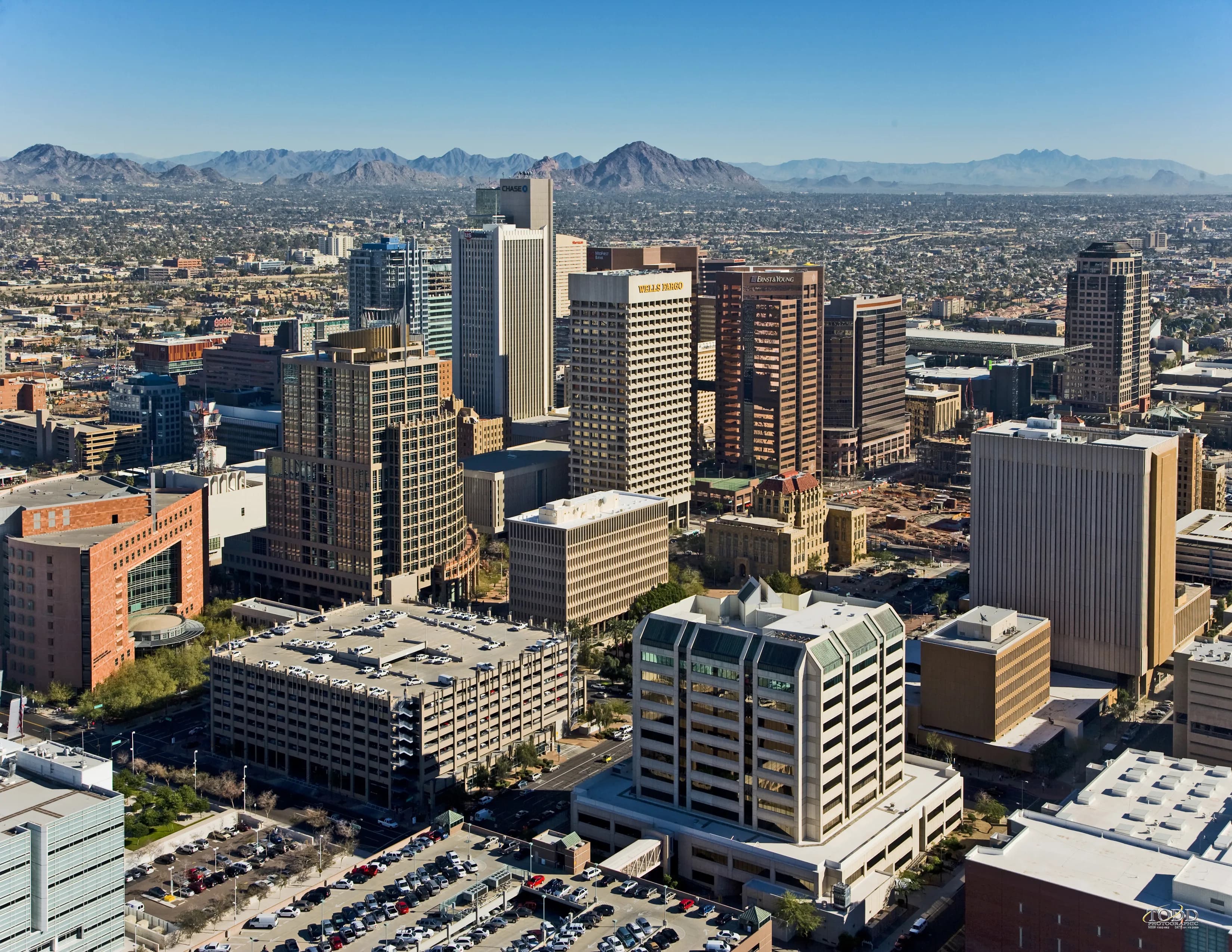
Photo: DPPed (CC BY-SA 3.0) via Wikimedia Commons
La Paz County, AZ Contractor directory
5 verified excavating and site work contractors serving La Paz County.
County excavation guide
Use this local research to understand soil, seasonal constraints, permits, and jobsite logistics before choosing a contractor.
Skip to 5 contractorsArizona's Basin-and-Range valleys are excavator country with caveats: the upper profile is loose desert alluvium, loams, sandy loams, and gravelly fan deposits that rip and load fast, but production stops at the caliche. Cemented calcium carbonate hardpans (calcic horizons) run from 12 to 36 inches below grade across the valley floors, ranging from a tooth-scoring rind to continuous pavement that demands a ripper tooth, hydraulic hammer, or hoe-ram work. Excavators plan unit costs around caliche percentage, not depth. Desert pavement and armored fan surfaces slow the first pass; deeper cuts in the basin fill stay vertical surprisingly well in dry conditions but slake and ravel when wet. Groundwater is deep and rarely a dewatering problem, which is the region's one gift to utility crews. Monsoon-season flash flooding fills open trenches in minutes, shoring, spoil setbacks, and daily weather calls are standard. Export fill and aggregate borrow are abundant; expect long hauls only for select material.
Deep soil mantle; rock refusal rare for standard basement or trench cuts.
Low volumetric expansion risk in native subgrade.
Shallow water table; active dewatering or sumps needed for deep trenching.
Indicates poor natural drainage and potential jurisdictional wetland pockets.
Mountain/hilly terrain; terracing, benching, and tracked haulers frequent.
Nearest active quarry: 16 miles haul distance.(3 active crushed stone/sand operations within 50 miles).
0.0% of county underlain by soluble carbonate rock formations.
Yes. You should contact Arizona 811 at least 2 working days before any digging so underground lines can be marked.
Verified local listings
5 verified listings
erosion-control, excavation, grading, pond-water-management, site-prep
Listed on GradeLine
Check the work, service area, and contact facts before you hire.
Listed on GradeLine
Check the work, service area, and contact facts before you hire.
Listed on GradeLine
Check the work, service area, and contact facts before you hire.
Listed on GradeLine
Check the work, service area, and contact facts before you hire.
Listed on GradeLine
Check the work, service area, and contact facts before you hire.