

Sky Island Restoration and Development LLC
erosion-control, excavation, grading, pond-water-management, site-prep
Listed on GradeLine
Check the work, service area, and contact facts before you hire.
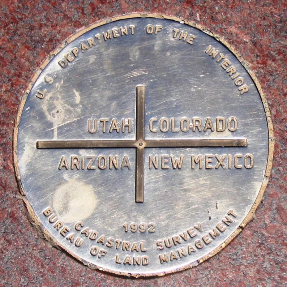
Photo: Wikimedia Commons (CC BY-SA 3.0) via Wikimedia Commons
Apache County, AZ Contractor directory
7 verified excavating and site work contractors serving Apache County.
County excavation guide
Use this local research to understand soil, seasonal constraints, permits, and jobsite logistics before choosing a contractor.
Skip to 7 contractorsThe Colorado Plateau's stripped-bedrock terrain, mesas, buttes, and dissected tablelands across northern Arizona, puts shallow sandstone, shale, and limestone saprolite under thin eolian and residual soils. Median restrictive depths of 12 to 24 inches are normal; mass excavation becomes rock excavation quickly, and pad building means benching into flat-lying sedimentary strata. Sandstone rips with a big hoe where fractured; shale weathers to a slick, expansive clay that swells under slabs and eats subgrade uniformity. Fine eolian sand and loess cap the mesas, stable when dry, instantly unstable when saturated, with caving trenches and spongy subgrade after storms. Water tables are hundreds of feet down; the water challenge is surface flow, with summer monsoon runoff concentrating in slot canyons and arroyos. Utility trenching crosses intact rock ribs that require hammer work; plan mobilization for rock breakers and expect crushed-rock borrow to dominate backfill economics.
Moderate rock encounters along ridges and upper slope shoulders.
Low volumetric expansion risk in native subgrade.
Moderate depth; seasonal wet perched water tables possible in spring.
Indicates poor natural drainage and potential jurisdictional wetland pockets.
Predominantly gentle to rolling slopes suitable for wheeled earthmoving.
Nearest active quarry: 38 miles haul distance.(2 active crushed stone/sand operations within 50 miles).
0.0% of county underlain by soluble carbonate rock formations.
Yes. You should contact Arizona 811 at least 2 working days before any digging so underground lines can be marked.
Verified local listings
7 verified listings
erosion-control, excavation, grading, pond-water-management, site-prep
Listed on GradeLine
Check the work, service area, and contact facts before you hire.
Listed on GradeLine
Check the work, service area, and contact facts before you hire.
Listed on GradeLine
Check the work, service area, and contact facts before you hire.
Listed on GradeLine
Check the work, service area, and contact facts before you hire.
Listed on GradeLine
Check the work, service area, and contact facts before you hire.
No reviews yet
Listed on GradeLine
Check the work, service area, and contact facts before you hire.
No reviews yet
Listed on GradeLine
Check the work, service area, and contact facts before you hire.