
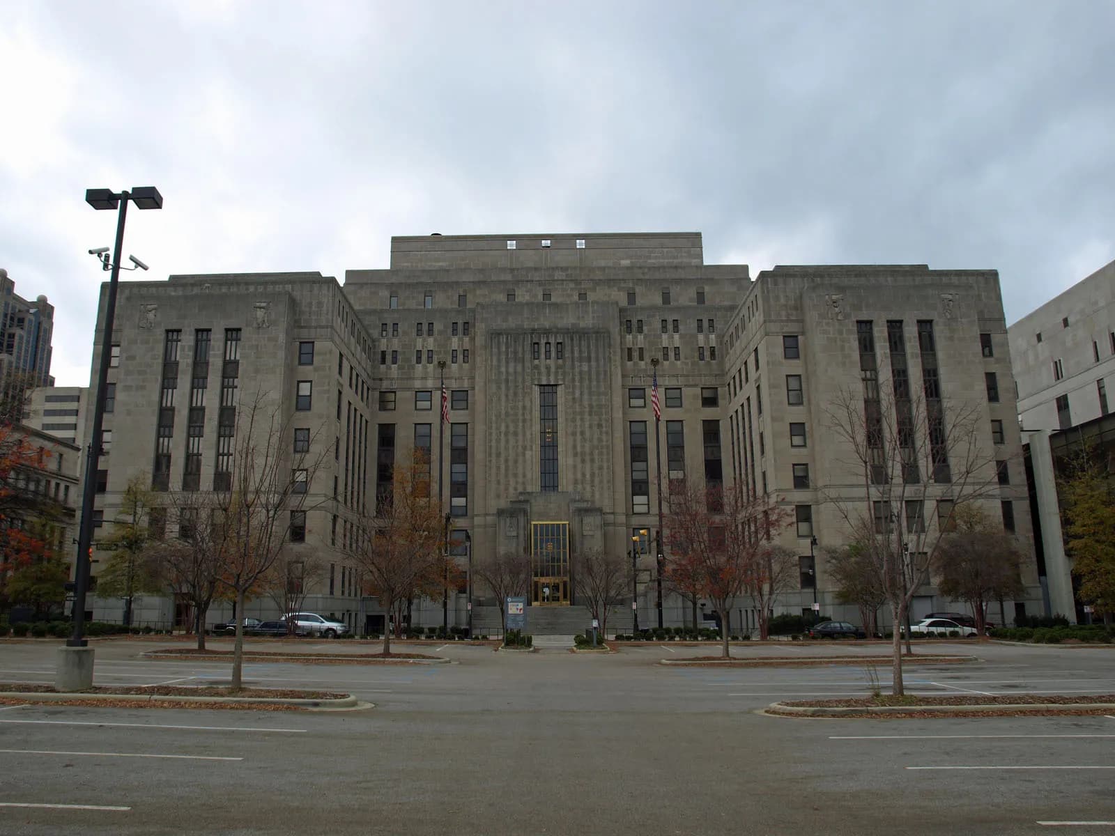
Photo: Chris Pruitt (CC BY-SA 3.0) via Wikimedia Commons
Jefferson County, AL Contractor directory
Excavation contractors in Jefferson County, AL
36 verified excavating and site work contractors serving Jefferson County.
County excavation guide
Ground conditions and project requirements in Jefferson County
Use this local research to understand soil, seasonal constraints, permits, and jobsite logistics before choosing a contractor.
Skip to 36 contractorsBenchmark Analytics
Original Gradeline Research IndexExcavation Intelligence & Site Metrics
Workable DaysAnnual
256days / year
Moderate work window; seasonal winter/spring rain impacts.
Site Difficulty0–100 Index
18.7Low Difficulty
Composite of shallow rock, steep slope, wetlands, shrink-swell, and water table.
Haul Cost IndexLogistics
20.2/ 100
Minimal Haul Distance based on nearest aggregate quarry and C&D disposal.
Capacity RatioSupply / Demand
49.1units / contractor
2400 units permitted across 56 earthwork firms.
Soil Regime ProfileEPA Ecoregion 67 (Ridge and Valley)
Ridge and Valley Folded Shale & Sandstone
Dominant Soil Order: Ultisols / Inceptisols
Parent Material: Tilted and Folded Sedimentary Shale, Siltstone, Sandstone & Dolomite
The Ridge and Valley physiographic province consists of alternating parallel ridges and valleys created by intensely folded and faulted Paleozoic sedimentary rock strata. Valley floors are underlain by easily weathered shales, siltstones, and carbonate rocks that can typically be excavated with heavy single-shank rippers without blasting. However, structural bedding planes tilt at steep dip angles; cut slopes made parallel to the rock strike risk catastrophic planar sliding along lubricated shale layers. Ridge shoulders feature hard sandstone caprock that requires heavy breaker attachments. Shallow refusal depths in ridge residential developments require rock saws for utility trenching, and conventional septic drainfields frequently require engineered mounded or drip-dispersal systems due to shallow restrictive rock layers.
Geographic Footprint:Eastern Tennessee (Knox, Hamilton, Sullivan), NW Georgia (Floyd, Whitfield), NE Alabama (Etowah)
Geotechnical Baseline
Physical Ground Conditions & Soil Properties
Shallow Bedrock (<50 in)
28.4%of county land area
Moderate rock encounters along ridges and upper slope shoulders.
High Shrink-Swell Clay
14.8%expansive soil
Moderate shrink-swell; verify plasticity index on structural fill.
Median Water Table Depth
58inches from surface
Deep water table; dry trenching conditions under normal weather.
Hydric / Wetland Soils
5.2%hydric coverage
Indicates poor natural drainage and potential jurisdictional wetland pockets.
Steep Terrain (Slope >15%)
21.5%of terrain
Mountain/hilly terrain; terracing, benching, and tracked haulers frequent.
Septic Severe Limitations
54.2%severe rate
Standard gravity absorption fields viable in majority of soil types.
Dominant Soil Textures:Montevallo Shaly Silt LoamSunlight LoamRock Outcrop
Surface Stones / Boulders: 18.2% coverage
Compliance & Permitting
Earthwork Regulations & Permit Thresholds
Stormwater & Erosion Control
ADEM NPDES General Permit ALR100000
Administers NPDES stormwater discharge coverage for land-disturbing construction activities.
State Threshold:1.00 Acre
Local Threshold:0.50 Acres
Grading Permit: Required locally
Jefferson County Department of Development Services Land Disturbance Permit
Typical review timeframe: 14-21 days.
Onsite Wastewater & Utilities
JCDH Environmental Health Services
Jurisdiction over septic tank permits, soil evaluation perk tests, and drainfield sizing.
Housing on Septic:22.4%
Soil Evaluation:Soil morphology evaluation by Licensed Professional Soil Classifier
811 One-Call Requirements
Alabama 811
Mandatory notice window: 48 hours prior to mechanized earthwork (excluding weekends and legal holidays).
Licensing & Clearing Permits
Contractor License Threshold: Required for earthwork contracts exceeding $50,000 in Alabama.
Burn Permit Season: Jefferson County summer open burn ban May 1 – Oct 31Authority: Alabama Forestry Commission & Jefferson County Health
Weather & Ecology
Seasonal Constraints & Clearing Windows
Design Frost Depth
6inches
Building code minimum depth for footing frost protection.
Frozen Ground Days
4days / year
Typical days with sub-freezing soil conditions affecting digging.
Wet Season Months
January, February, March, December
Peak precipitation window requiring sediment traps and soil aeration.
Spring Load Restrictions (SLR)
Not Applicable
Axle-weight load restrictions on secondary roads during spring thaw.
Tree Clearing Moratorium Window (Watercress Darter & Gray Bat)
Mandatory restriction: Spring habitat protection
Check Cahaba River drainage buffer zones for aquatic and bat restrictions.
Supply Chain & Hazards
Logistics, Aggregate Sources & Geohazards
Aggregate & Material Supply
Vulcan Materials Dolcito Quarry (Tarrant)
Nearest active quarry: 8.4 miles haul distance.(10 active crushed stone/sand operations within 50 miles).
Jefferson County Eastern C&D Landfill
Nearest C&D landfill: 12.6 miles haul.Est. tipping fee: $42.50 / ton.
Flood & Hazard Overlay
FEMA 100-Yr Flood:7.0%(100% NFHL digital map coverage)
NWI Wetlands:3.8%jurisdictional coverage
Karst Terrain & Sinkhole Risk: Present
18.4% of county underlain by soluble carbonate rock formations.
HUC8 Primary Watersheds:Locust, Cahaba, Mulberry
Public conservation land: 5.2% (USGS PAD-US).
Area-specific FAQ
Do I need to call before digging in Jefferson County?
Yes. You should contact Alabama 811 at least 2 working days before any digging so underground lines can be marked.
How deep do footings need to be in Alabama?
In Alabama, footings typically need to extend below the frost line, which is around 12 inches here. A local contractor will confirm the code requirement for your site.
Verified local listings
Excavation contractors serving Jefferson County
36 verified listings (showing first 20)


Archon Land Management LLC
Graysville, ALJefferson County
concrete flatwork, demolition, driveways, erosion control, excavation, foundations


Wildcat Excavation
Sylvan Springs, ALJefferson County
driveways, excavation, grading, land clearing, retaining walls


Morrison Land Contracting
Birmingham, ALJefferson County
erosion control, excavation, grading, site prep, trenching underground
No reviews yet

No reviews yet
