
Monroe Land & Excavation
Blountsville, ALBlount County
demolition, driveways, erosion control, excavation, foundations, grading
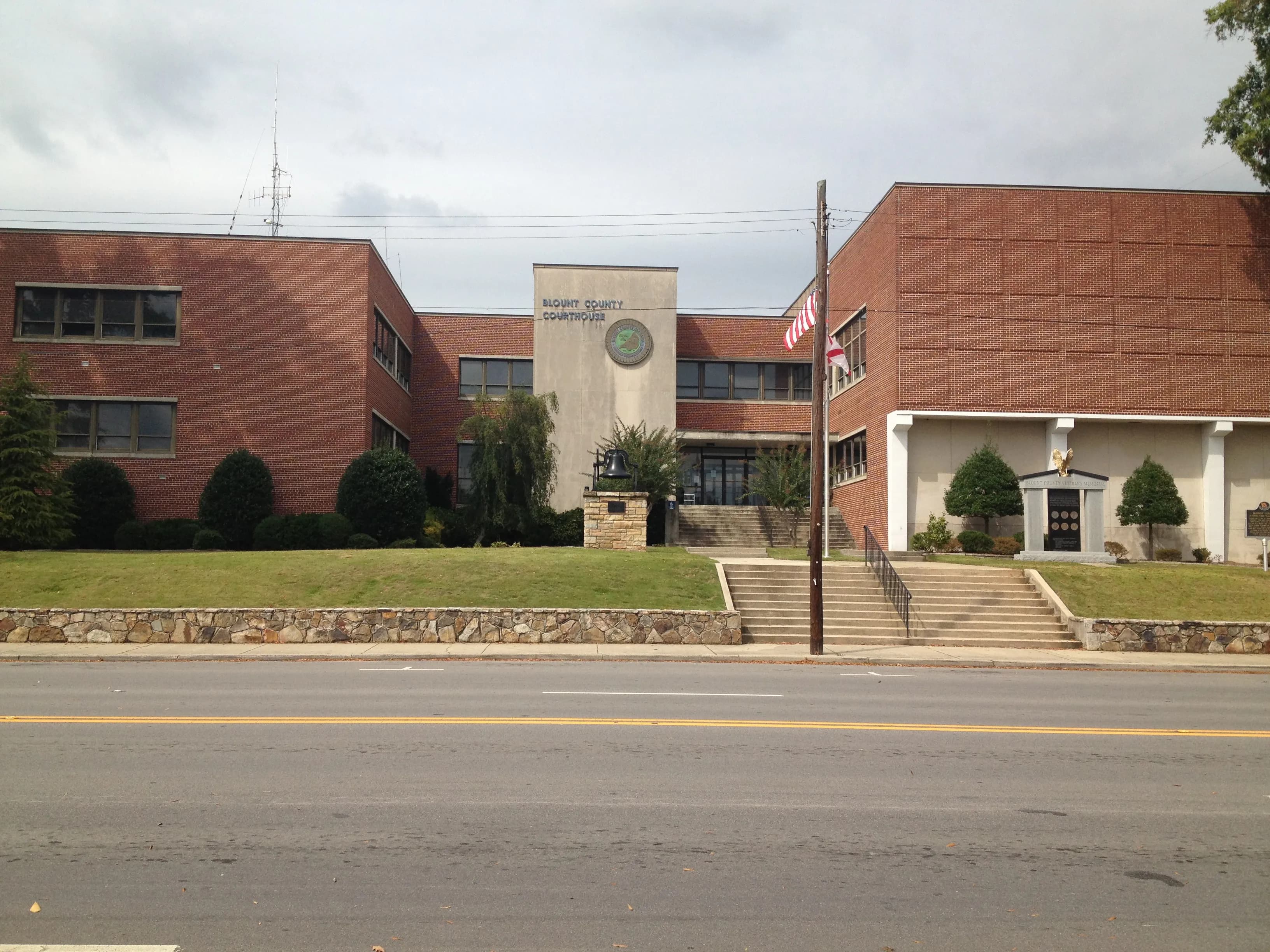
Photo: Rudi Weikard (CC BY-SA 3.0) via Wikimedia Commons
Blount County, AL Contractor directory
21 verified excavating and site work contractors serving Blount County.
County excavation guide
Use this local research to understand soil, seasonal constraints, permits, and jobsite logistics before choosing a contractor.
Skip to 21 contractorsNorth-central Alabama rises off the coastal plain onto the Fall Line Hills and Highland Rim, and the ground changes accordingly: slopes over 15 percent on 35-65 percent of land in Shelby, Walker, Tuscaloosa, Winston, and the neighboring counties, with thin, gravelly silt loams over dense clay subsoils. Excavation here is hill-country work: bench-cut access drives, contour-following septic lines, and spoil management on side-slope sites. Two hazards define bids. First, shallow rock: the Paleozoic sandstones and limestones of the Cumberland Plateau margin lie within 50 inches on 40-70 percent of some counties (Walker, Winston), so rock excavation and hydraulic breaking are ordinary. Second, shrink-swell: the smectite clays of the Black Belt push into these counties from the south, and high shrink-swell soils appear on 2-10 percent of land in the transition zone, enough to matter for foundations and pool decks. Hydric soils are sparse except along the Black Warrior and Tombigbee bottoms. Septic systems are conventional trenches on most sites, with rock depth and slope as the recurring evaluation constraints.
High likelihood of bedrock refusal; hammer / ripper required for deep utilities.
Low volumetric expansion risk in native subgrade.
Shallow water table; active dewatering or sumps needed for deep trenching.
Indicates poor natural drainage and potential jurisdictional wetland pockets.
Mountain/hilly terrain; terracing, benching, and tracked haulers frequent.
High rate of conventional drainfield limitations; engineered or drip systems often required.
Administers NPDES stormwater discharge coverage for land-disturbing construction activities.
Jurisdiction over septic tank permits, soil evaluation perk tests, and drainfield sizing.
Mandatory notice window: 48 hours prior to mechanized earthwork (excluding weekends and legal holidays).
Typical days with sub-freezing soil conditions affecting digging.
Nearest active quarry: 9.3 miles haul distance.(28 active crushed stone/sand operations within 50 miles).
0.0% of county underlain by soluble carbonate rock formations.
Yes. You should contact Alabama 811 at least 2 working days before any digging so underground lines can be marked.
In Alabama, footings typically need to extend below the frost line, which is around 12 inches here. A local contractor will confirm the code requirement for your site.
Verified local listings
21 verified listings (showing first 20)
Blountsville, ALBlount County
demolition, driveways, erosion control, excavation, foundations, grading

Remlap, ALBlount County
demolition, driveways, excavation, foundations, grading, hauling trucking


demolition, excavation, grading, hauling trucking, land clearing

No reviews yet

No reviews yet
No reviews yet
No reviews yet
No reviews yet
excavation, grading, land clearing, site prep, trenching underground
No reviews yet
No reviews yet
No reviews yet