

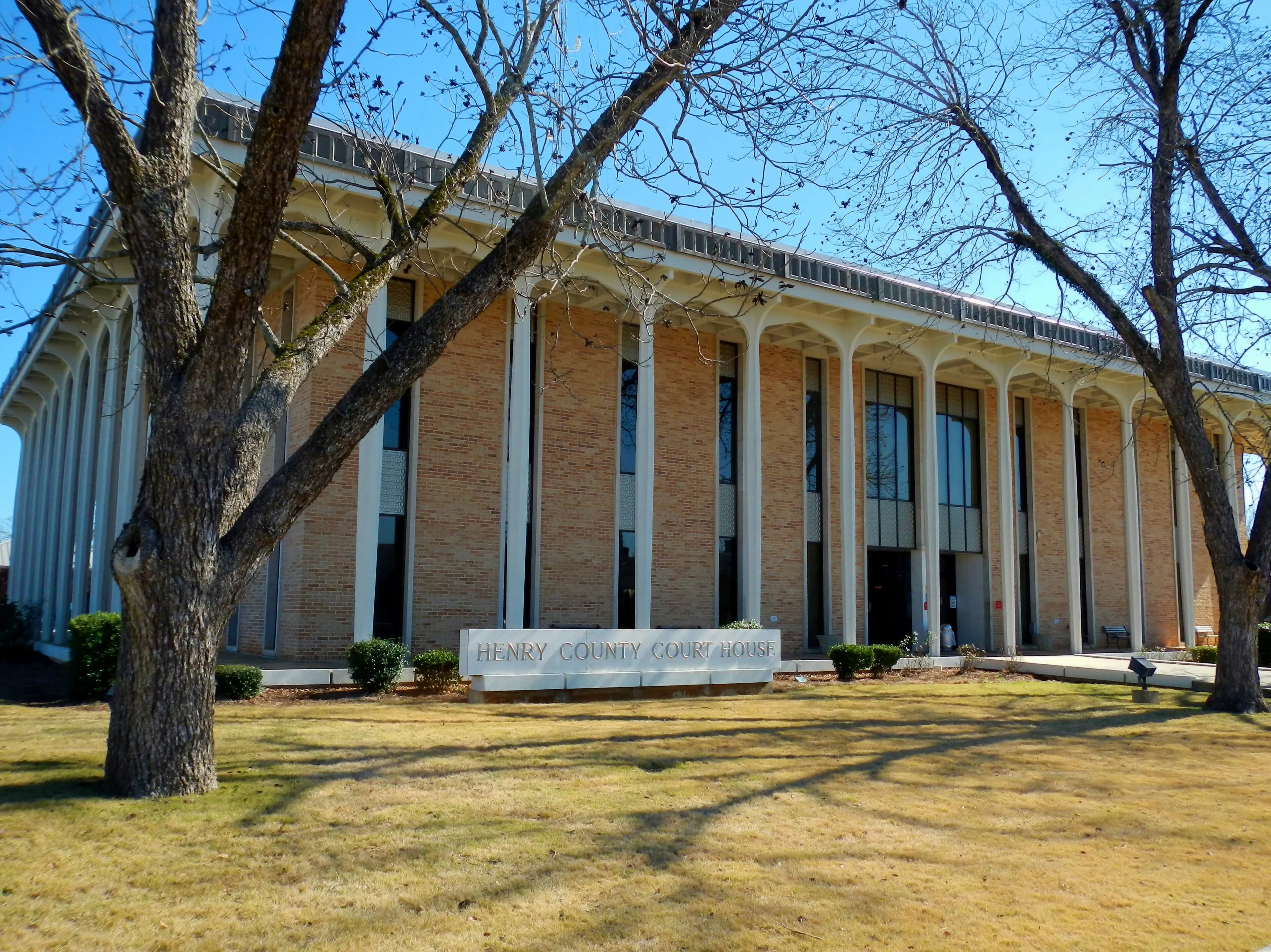
Henry County, AL Contractor directory
Excavation contractors in Henry County, AL
1 verified excavating and site work contractor serving Henry County.
County excavation guide
Ground conditions and project requirements in Henry County
Use this local research to understand soil, seasonal constraints, permits, and jobsite logistics before choosing a contractor.
Skip to 1 contractorSoil Regime ProfileEPA Ecoregion 63, 65, 75 (Middle Atlantic Coastal Plain, Southeastern Plains, Southern Coastal Plain)
Coastal Plain Marine Sand & Terrace
Dominant Soil Order: Ultisols / Entisols / Spodosols
Parent Material: Marine and Fluvial Sand, Silt, and Gravel Terrace Deposits
The Coastal Plain features deep, unconsolidated marine sands, sandy loams, and terrace alluvium that allow rapid bucket cycling and fast production trenching. However, this ease of tooth penetration is counterbalanced by near-zero sidewall stability in cohesionless sands. Trenching deeper than 4 to 5 feet requires immediate benching, sloping back, or the use of trench boxes to prevent rapid sidewall sloughing. High seasonal water tables are common throughout the flat terrain; shallow water tables (often within 18 to 36 inches of grade) require active dewatering, sump pumps, or well-point systems for deep sewer, storm line, or lift station installation. Saturated fine sands can quickly become "sugar sand" under wheel loads, bogging haul trucks and demanding tracked equipment or temporary timber access mats. Engineered fill pads must be carefully compacted at optimum moisture to achieve density specifications without shearing.
Geographic Footprint:Eastern North Carolina (Pitt, Craven), Southern Georgia (Lowndes, Coffee), Southern Alabama (Houston, Coffee)
Geotechnical Baseline
Physical Ground Conditions & Soil Properties
Shallow Bedrock (<50 in)
0.0%of county land area
Deep soil mantle; rock refusal rare for standard basement or trench cuts.
High Shrink-Swell Clay
0.0%expansive soil
Low volumetric expansion risk in native subgrade.
Median Water Table Depth
42inches from surface
Moderate depth; seasonal wet perched water tables possible in spring.
Hydric / Wetland Soils
7.0%hydric coverage
Indicates poor natural drainage and potential jurisdictional wetland pockets.
Steep Terrain (Slope >15%)
21.3%of terrain
Mountain/hilly terrain; terracing, benching, and tracked haulers frequent.
Septic Severe Limitations
60.9%severe rate
High rate of conventional drainfield limitations; engineered or drip systems often required.
Dominant Soil Textures:Loamy fine sandSandy loamLoamy sand
Surface Stones / Boulders: 2.9% coverage
Compliance & Permitting
Earthwork Regulations & Permit Thresholds
Stormwater & Erosion Control
ADEM NPDES General Permit ALR100000 (Construction Stormwater); 1 acre or more, or smaller part of common plan of 1+ acre; NOI via AEPACS. Reissue proposed Nov 2025
Administers NPDES stormwater discharge coverage for land-disturbing construction activities.
State Threshold:1.00 Acre
Local Threshold:Follows state
Onsite Wastewater & Utilities
Henry County Health Department
Jurisdiction over septic tank permits, soil evaluation perk tests, and drainfield sizing.
Housing on Septic:55.0%
Soil Evaluation:Soil evaluation (soil testing and/or percolation test) before permit; registered engineer required for designed systems or poorly percolating soils
811 One-Call Requirements
Alabama 811
Mandatory notice window: 48 hours prior to mechanized earthwork (excluding weekends and legal holidays).
Licensing & Clearing Permits
Weather & Ecology
Seasonal Constraints & Clearing Windows
Frozen Ground Days
0days / year
Typical days with sub-freezing soil conditions affecting digging.
Wet Season Months
July
Peak precipitation window requiring sediment traps and soil aeration.
Supply Chain & Hazards
Logistics, Aggregate Sources & Geohazards
Aggregate & Material Supply
Columbia Sand Plant
Nearest active quarry: 6.6 miles haul distance.(4 active crushed stone/sand operations within 50 miles).
Flood & Hazard Overlay
FEMA 100-Yr Flood:9.1%(100% NFHL digital map coverage)
NWI Wetlands:0.0%jurisdictional coverage
Karst Terrain & Sinkhole Risk: Low
0.0% of county underlain by soluble carbonate rock formations.
HUC8 Primary Watersheds:Upper Choctawhatchee, Middle Chattahoochee-Walter F, Lower Chattahoochee
Public conservation land: 0.0% (USGS PAD-US).
Area-specific FAQ
Do I need to call before digging in Henry County?
Yes. You should contact Alabama 811 at least 2 working days before any digging so underground lines can be marked.
How deep do footings need to be in Alabama?
In Alabama, footings typically need to extend below the frost line, which is around 12 inches here. A local contractor will confirm the code requirement for your site.
Verified local listings
Excavation contractors serving Henry County
1 verified listing