

No reviews yet
Listed on GradeLine
Check the work, service area, and contact facts before you hire.
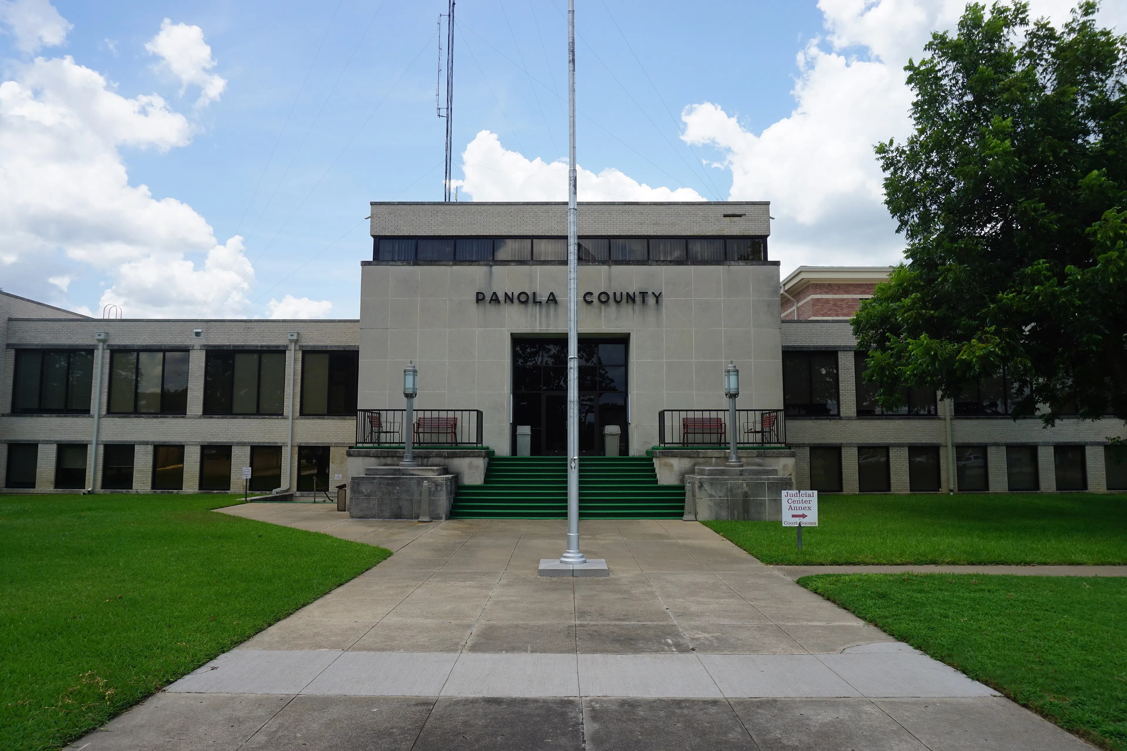
Panola County, TX Contractor directory
3 verified excavating and site work contractors serving Panola County.
County excavation guide
Use this local research to understand soil, seasonal constraints, permits, and jobsite logistics before choosing a contractor.
Skip to 3 contractorsThe Coastal Plain features deep, unconsolidated marine sands, sandy loams, and terrace alluvium that allow rapid bucket cycling and fast production trenching. However, this ease of tooth penetration is counterbalanced by near-zero sidewall stability in cohesionless sands. Trenching deeper than 4 to 5 feet requires immediate benching, sloping back, or the use of trench boxes to prevent rapid sidewall sloughing. High seasonal water tables are common throughout the flat terrain; shallow water tables (often within 18 to 36 inches of grade) require active dewatering, sump pumps, or well-point systems for deep sewer, storm line, or lift station installation. Saturated fine sands can quickly become "sugar sand" under wheel loads, bogging haul trucks and demanding tracked equipment or temporary timber access mats. Engineered fill pads must be carefully compacted at optimum moisture to achieve density specifications without shearing.
Deep soil mantle; rock refusal rare for standard basement or trench cuts.
Low volumetric expansion risk in native subgrade.
Shallow water table; active dewatering or sumps needed for deep trenching.
Indicates poor natural drainage and potential jurisdictional wetland pockets.
Predominantly gentle to rolling slopes suitable for wheeled earthmoving.
High rate of conventional drainfield limitations; engineered or drip systems often required.
Administers NPDES stormwater discharge coverage for land-disturbing construction activities.
Jurisdiction over septic tank permits, soil evaluation perk tests, and drainfield sizing.
Mandatory notice window: 48 hours prior to mechanized earthwork (excluding weekends and legal holidays).
Building code minimum depth for footing frost protection.
0.0% of county underlain by soluble carbonate rock formations.
Yes. You should contact Texas 811 at least 2 working days before any digging so underground lines can be marked.
In Texas, footings typically need to extend below the frost line, which is around 12 inches here. A local contractor will confirm the code requirement for your site.
Verified local listings
3 verified listings
No reviews yet
Listed on GradeLine
Check the work, service area, and contact facts before you hire.
Listed on GradeLine
Check the work, service area, and contact facts before you hire.
No reviews yet
Listed on GradeLine
Check the work, service area, and contact facts before you hire.