

Adams Co. LLC
Lenoir City, TNLoudon County
demolition, driveways, erosion control, excavation, foundations, grading
30 years in business
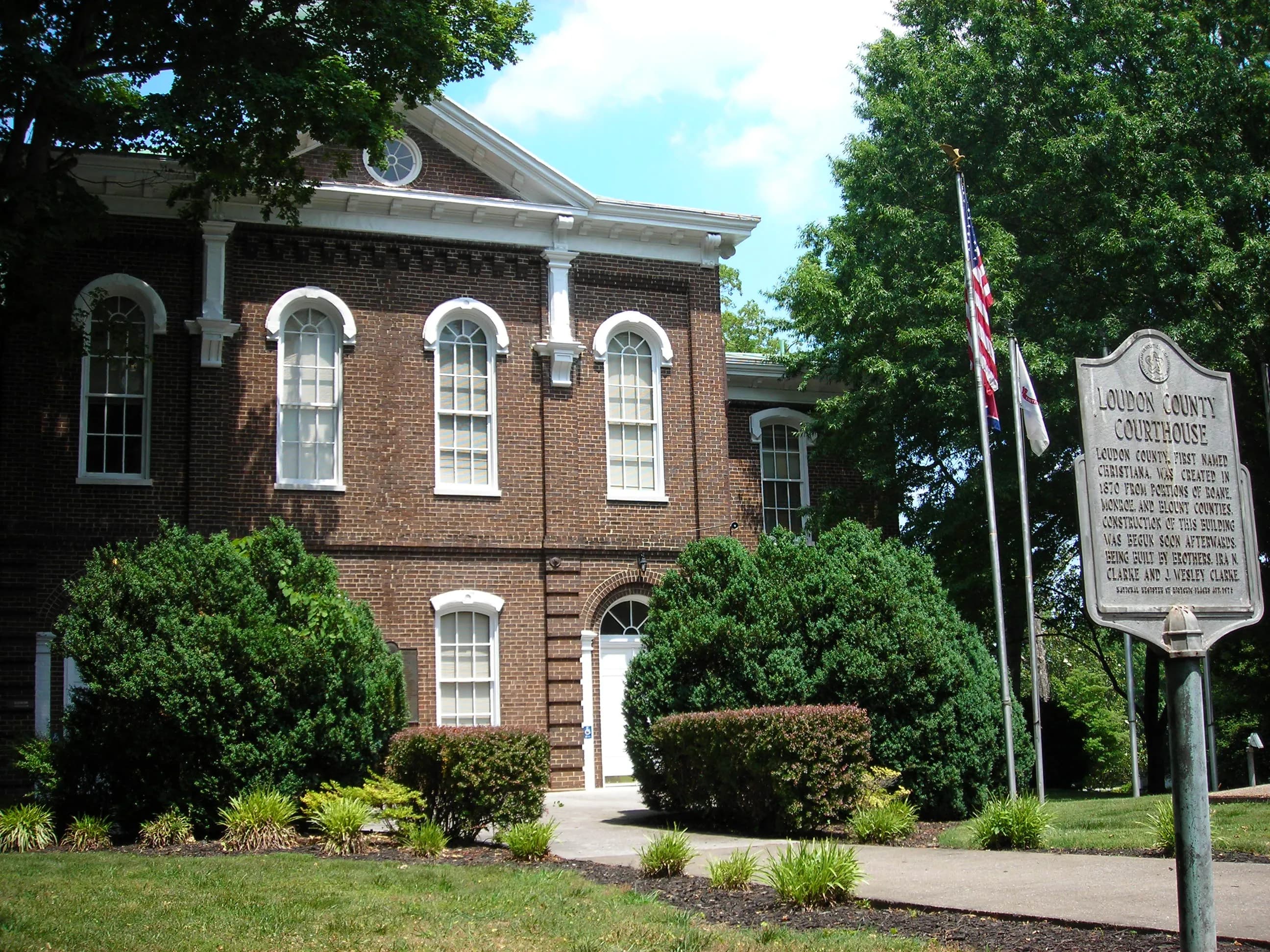
Photo: Scott Basford (CC BY-SA 3.0) via Wikimedia Commons
Loudon County, TN Contractor directory
12 verified excavating and site work contractors serving Loudon County.
County excavation guide
Use this local research to understand soil, seasonal constraints, permits, and jobsite logistics before choosing a contractor.
Skip to 12 contractorsThe Ridge and Valley physiographic province consists of alternating parallel ridges and valleys created by intensely folded and faulted Paleozoic sedimentary rock strata. Valley floors are underlain by easily weathered shales, siltstones, and carbonate rocks that can typically be excavated with heavy single-shank rippers without blasting. However, structural bedding planes tilt at steep dip angles; cut slopes made parallel to the rock strike risk catastrophic planar sliding along lubricated shale layers. Ridge shoulders feature hard sandstone caprock that requires heavy breaker attachments. Shallow refusal depths in ridge residential developments require rock saws for utility trenching, and conventional septic drainfields frequently require engineered mounded or drip-dispersal systems due to shallow restrictive rock layers.
Deep soil mantle; rock refusal rare for standard basement or trench cuts.
Low volumetric expansion risk in native subgrade.
Moderate depth; seasonal wet perched water tables possible in spring.
Indicates poor natural drainage and potential jurisdictional wetland pockets.
Mountain/hilly terrain; terracing, benching, and tracked haulers frequent.
Standard gravity absorption fields viable in majority of soil types.
Administers NPDES stormwater discharge coverage for land-disturbing construction activities.
Jurisdiction over septic tank permits, soil evaluation perk tests, and drainfield sizing.
Mandatory notice window: 72 hours prior to mechanized earthwork (excluding weekends and legal holidays).
Building code minimum depth for footing frost protection.
Typical days with sub-freezing soil conditions affecting digging.
Nearest active quarry: 8.6 miles haul distance.(27 active crushed stone/sand operations within 50 miles).
99.0% of county underlain by soluble carbonate rock formations.
Yes. You should contact Tennessee 811 at least 2 working days before any digging so underground lines can be marked.
In Tennessee, footings typically need to extend below the frost line, which is around 12 inches here. A local contractor will confirm the code requirement for your site.
Verified local listings
12 verified listings
Lenoir City, TNLoudon County
demolition, driveways, erosion control, excavation, foundations, grading
30 years in business

Greenback, TNLoudon County
demolition, driveways, erosion control, excavation, foundations, grading
Vonore, TNLoudon County
driveways, erosion control, excavation, foundations, grading, hauling trucking

Loudon, TNLoudon County
driveways, erosion control, excavation, foundations, grading, land clearing

No reviews yet