

Jimmy Lewis & Sons Grading & Septic Tank Services
concrete flatwork, demolition, erosion control, excavation, grading, land clearing
57 years in business
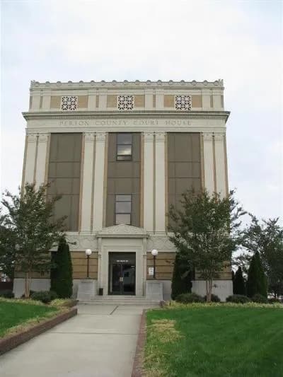
Photo: Avenger083 at en.wikipedia (Public domain) via Wikimedia Commons
Person County, NC Contractor directory
2 verified excavating and site work contractors serving Person County.
County excavation guide
Use this local research to understand soil, seasonal constraints, permits, and jobsite logistics before choosing a contractor.
Skip to 2 contractorsThe counties between the Piedmont and the Coastal Plain sit on the Fall Line transition, where sandy coastal sediments meet older Piedmont soils. SSURGO mapping shows Georgeville, Wedowee, Vaucluse, Norfolk, Mayodan, and Pacolet series, with Ultisols as the largest order. Median depth to bedrock is about 45 inches, so rock is deeper than in the Piedmont uplands but still reached by deep cuts. Median slope is about 5 percent, so the ground is gently rolling. Median seasonal water table is about 24 inches, so wet-season trenches fill with water. Sandy layers cave when cut, and unsupported faces slump into the excavation. Clayey subsoils swell when wet and shrink when dry, which moves slabs and walls that sit on them. The sandier soils drain fast in some places and hold water in others, so wet and dry zones can sit close together on one lot.
Moderate rock encounters along ridges and upper slope shoulders.
Low volumetric expansion risk in native subgrade.
Moderate depth; seasonal wet perched water tables possible in spring.
Indicates poor natural drainage and potential jurisdictional wetland pockets.
Predominantly gentle to rolling slopes suitable for wheeled earthmoving.
Standard gravity absorption fields viable in majority of soil types.
Administers NPDES stormwater discharge coverage for land-disturbing construction activities.
Jurisdiction over septic tank permits, soil evaluation perk tests, and drainfield sizing.
Mandatory notice window: 72 hours prior to mechanized earthwork (excluding weekends and legal holidays).
Building code minimum depth for footing frost protection.
Typical days with sub-freezing soil conditions affecting digging.
Peak precipitation window requiring sediment traps and soil aeration.
Nearest active quarry: 21.2 miles haul distance.(20 active crushed stone/sand operations within 50 miles).
0.0% of county underlain by soluble carbonate rock formations.
Yes. You should contact North Carolina 811 at least 2 working days before any digging so underground lines can be marked.
Verified local listings
2 verified listings
concrete flatwork, demolition, erosion control, excavation, grading, land clearing
57 years in business
Mooresboro, NCCleveland County
driveways, excavation, foundations, grading, land clearing, paving prep
No reviews yet