

Caldwell Drilling & Blasting Co. Inc.
Hudson, NCCaldwell County
driveways, excavation, foundations, general-excavation, grading, site-prep
Listed on GradeLine
Check the work, service area, and contact facts before you hire.
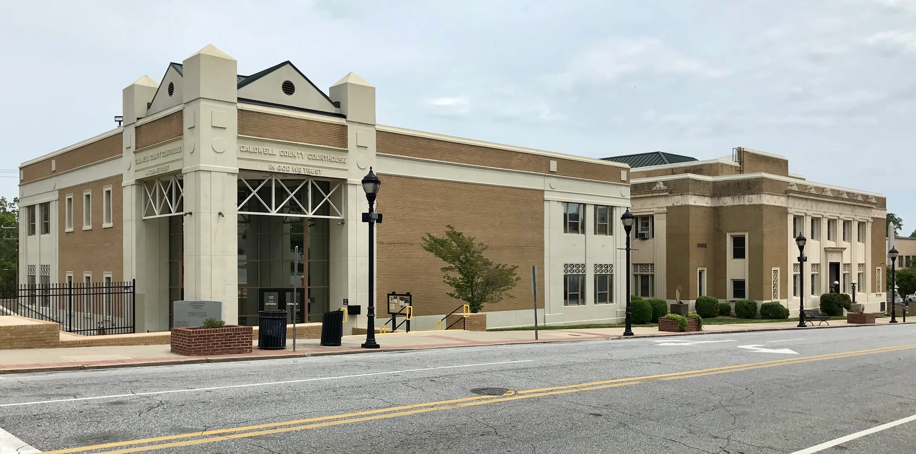
Caldwell County, NC Contractor directory
8 verified excavating and site work contractors serving Caldwell County.
View contractorsCounty excavation guide
Use this local research to understand soil, seasonal constraints, permits, and jobsite logistics before choosing a contractor.
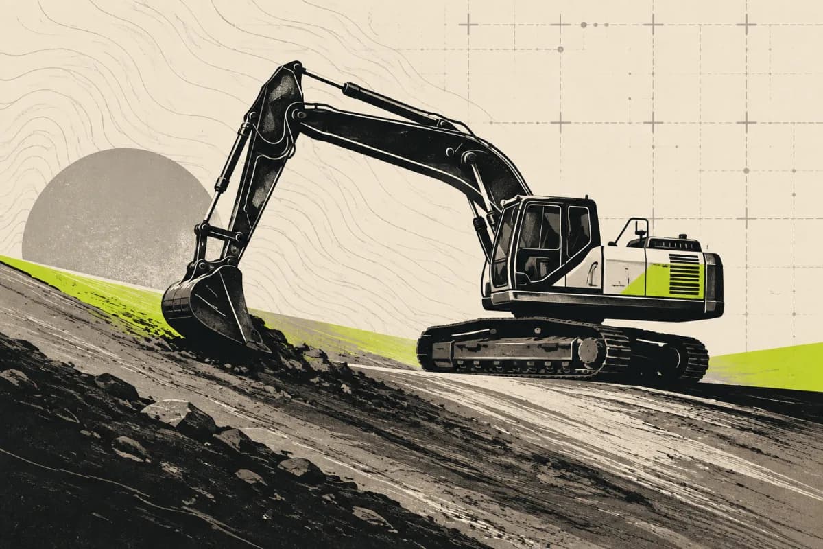
Skip to 8 contractorsMountain dirt work in the Southern Appalachians is governed by steep slopes (frequently exceeding 20 to 35 percent) and deep, heterogeneous colluvial deposits composed of loose boulder nests, cobbles, and unsorted loamy debris. Cut slopes are highly susceptible to rotational failure and debris slides if excavated without proper geotechnical benching and slope reinforcement. Hard, crystalline quartzite and granitic gneiss bedrock frequently require pneumatic hammer work or drilling and blasting for site terracing, driveway grading, and foundation footings. Access for heavy iron is constrained by switchbacks and narrow haul roads. Strict environmental permitting and sediment containment measures (super-silt fencing, sediment traps) are vigorously enforced near high-quality mountain streams and trout waters.
Moderate rock encounters along ridges and upper slope shoulders.
Low volumetric expansion risk in native subgrade.
Shallow water table; active dewatering or sumps needed for deep trenching.
Indicates poor natural drainage and potential jurisdictional wetland pockets.
Mountain/hilly terrain; terracing, benching, and tracked haulers frequent.
High rate of conventional drainfield limitations; engineered or drip systems often required.
Administers NPDES stormwater discharge coverage for land-disturbing construction activities.
Jurisdiction over septic tank permits, soil evaluation perk tests, and drainfield sizing.
Mandatory notice window: 72 hours prior to mechanized earthwork (excluding weekends and legal holidays).
Building code minimum depth for footing frost protection.
0.2% of county underlain by soluble carbonate rock formations.
Yes. You should contact North Carolina 811 at least 2 working days before any digging so underground lines can be marked.
Verified local listings
8 verified listings
Hudson, NCCaldwell County
driveways, excavation, foundations, general-excavation, grading, site-prep
Listed on GradeLine
Check the work, service area, and contact facts before you hire.
Listed on GradeLine
Check the work, service area, and contact facts before you hire.
Hudson, NCCaldwell County
driveways, erosion-control, excavation, general-excavation, grading, land-clearing
Listed on GradeLine
Check the work, service area, and contact facts before you hire.
Listed on GradeLine
Check the work, service area, and contact facts before you hire.
Listed on GradeLine
Check the work, service area, and contact facts before you hire.
Listed on GradeLine
Check the work, service area, and contact facts before you hire.
Listed on GradeLine
Check the work, service area, and contact facts before you hire.
Listed on GradeLine
Check the work, service area, and contact facts before you hire.