
Digging Deep Excavation LLC
Heron, MTSanders County
driveways, excavation, foundations, grading, hauling trucking, land clearing
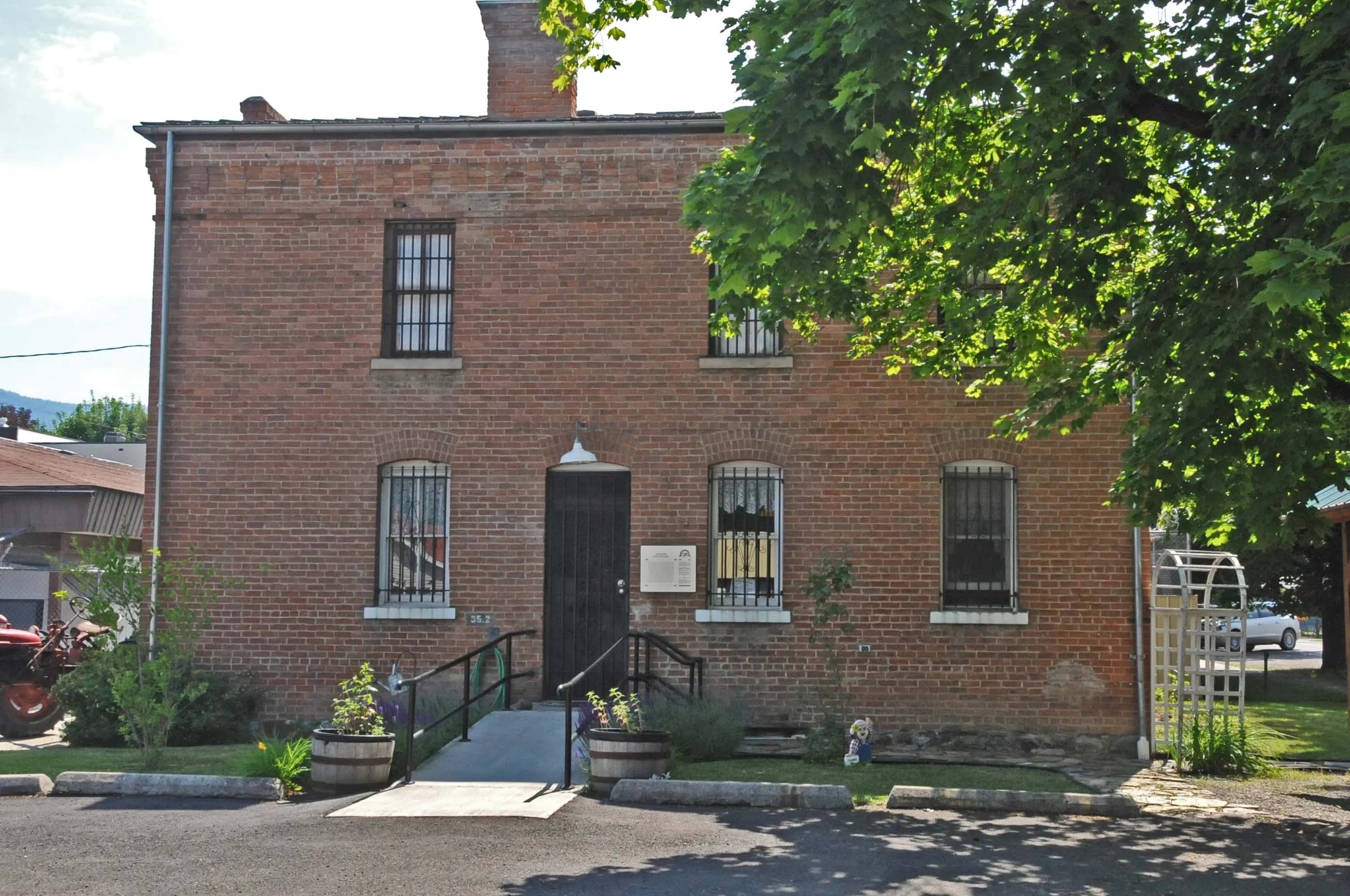
Photo: JERRYE AND ROY KLOTZ MD (CC BY-SA 3.0) via Wikimedia Commons
Sanders County, MT Contractor directory
6 verified excavating and site work contractors serving Sanders County.
County excavation guide
Use this local research to understand soil, seasonal constraints, permits, and jobsite logistics before choosing a contractor.
Skip to 6 contractorsMontana is the shale-and-rock end of the northern plains. The glaciated east (Great Falls, Havre, Glasgow) sits on glacial till and Tertiary sediments over the Pierre and Bearpaw shales, and the bentonitic shales bring the northern plains' worst ground: smectite clay that swells and shears, landslide-prone bluffs along the Missouri and Milk rivers, and shrink-swell behavior severe enough to shape every rural foundation. Saline seeps (discharge wet spots that kill crops) mark the shale uplands, and the state's alkaline soils complicate septic design. Digging in the till plains is easy where the shale is deep; shallow shale bedrock appears in the breaks. West of the Continental Divide the Northern Rockies take over: crystalline Belt Series rock, glacial valley fill, steep slopes (30-80 percent in the mountain counties), and the only serious blasting in the state. Frost runs 42-60 inches, the deepest in the lower 48. Hydric soils are rare in the arid east, common in the wet mountain valleys.
Deep soil mantle; rock refusal rare for standard basement or trench cuts.
Low volumetric expansion risk in native subgrade.
Shallow water table; active dewatering or sumps needed for deep trenching.
Indicates poor natural drainage and potential jurisdictional wetland pockets.
Mountain/hilly terrain; terracing, benching, and tracked haulers frequent.
High rate of conventional drainfield limitations; engineered or drip systems often required.
Administers NPDES stormwater discharge coverage for land-disturbing construction activities.
Jurisdiction over septic tank permits, soil evaluation perk tests, and drainfield sizing.
Mandatory notice window: 48 hours prior to mechanized earthwork (excluding weekends and legal holidays).
Typical days with sub-freezing soil conditions affecting digging.
Peak precipitation window requiring sediment traps and soil aeration.
Nearest active quarry: 31.3 miles haul distance.(3 active crushed stone/sand operations within 50 miles).
19.7% of county underlain by soluble carbonate rock formations.
Yes. You should contact Montana 811 at least 2 working days before any digging so underground lines can be marked.
In Montana, footings typically need to extend below the frost line, which is around 60 inches here. A local contractor will confirm the code requirement for your site.
Verified local listings
6 verified listings
Heron, MTSanders County
driveways, excavation, foundations, grading, hauling trucking, land clearing
Heron, MTSanders County
demolition, driveways, excavation, foundations, pond water management, septic systems

No reviews yet
No reviews yet