

Steer Clear Land Clearing
Panama city, FLWashington County
excavation, grading, site-prep, land-clearing, demolition, driveways
Verified business
Check the work, service area, and contact facts before you hire.
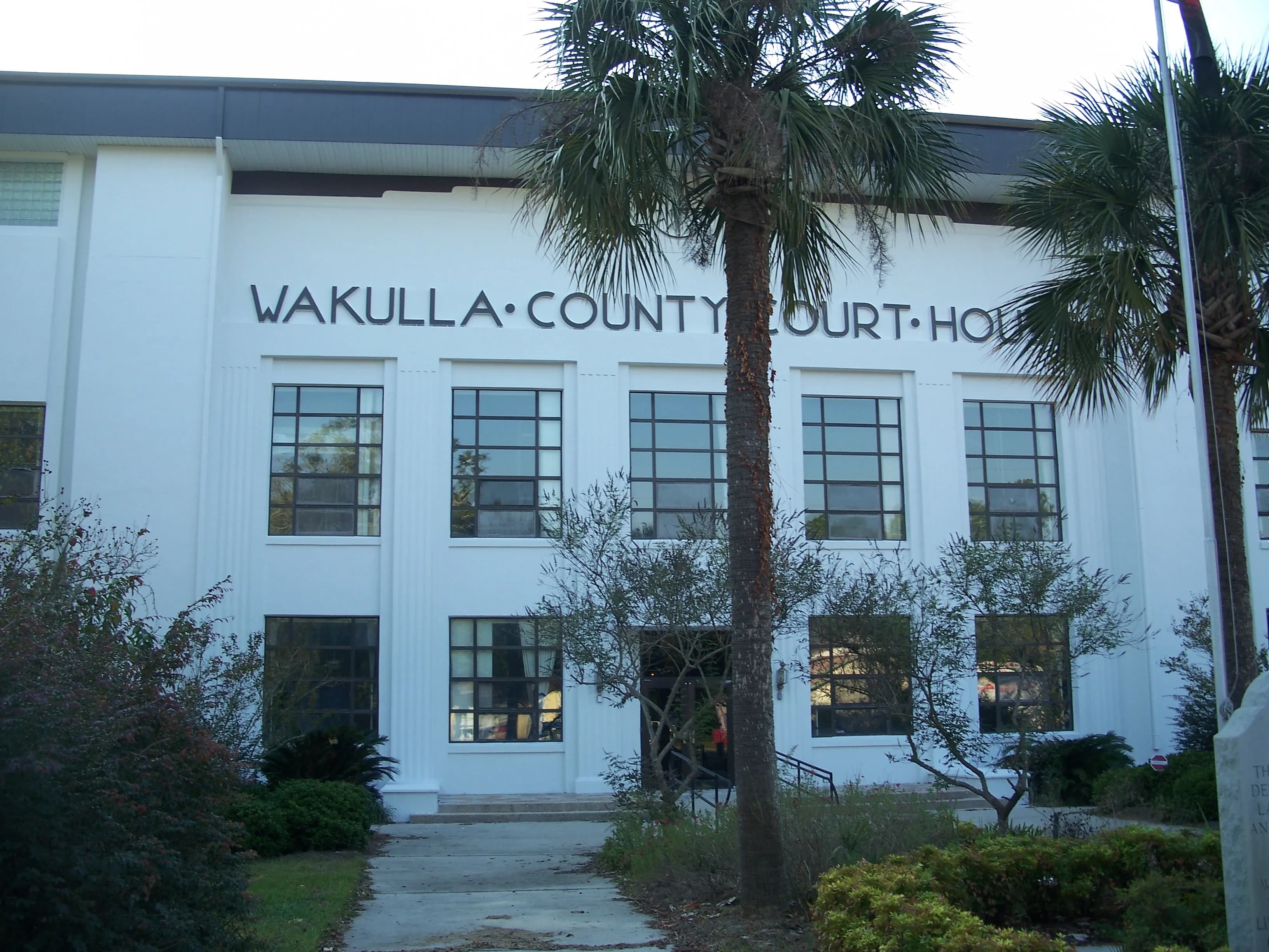
Photo: Ebyabe (CC BY-SA 3.0) via Wikimedia Commons
Wakulla County, FL Contractor directory
7 verified excavating and site work contractors serving Wakulla County.
County excavation guide
Use this local research to understand soil, seasonal constraints, permits, and jobsite logistics before choosing a contractor.
Skip to 7 contractorsFlorida's peninsular flatwoods are defined by deep, rapidly draining fine sands (Astatula, Tavares, Apopka series) over a spodic or clayey substratum, with seasonal water tables perched 1 to 3 feet below grade during the June-September wet season. Excavation is fast and low-cost in the upper sand profile, high production trenching with minimal rock. The tradeoffs are trench stability and water: cohesionless fine sand sidewalls collapse without benching, sloping, or trench boxes, and perched water tables require sump dewatering or well points for anything below 4 feet. Stormwater retention and detention pond excavation dominates site work; sand spoil is easy to move but must be kept clear of the pond floor where muck or spodic layers are hit. Phosphate-bearing clay strata common in the central ridge (Polk, Hillsborough) can slow production and hold water above the pit floor. Haul road traffic on saturated sugar sand demands tracked dozers and matting for cranes and concrete trucks.
High likelihood of bedrock refusal; hammer / ripper required for deep utilities.
Low volumetric expansion risk in native subgrade.
Shallow water table; active dewatering or sumps needed for deep trenching.
Indicates poor natural drainage and potential jurisdictional wetland pockets.
Predominantly gentle to rolling slopes suitable for wheeled earthmoving.
High rate of conventional drainfield limitations; engineered or drip systems often required.
Nearest active quarry: 17.8 miles haul distance.(7 active crushed stone/sand operations within 50 miles).
Yes. You should contact Sunshine State 811 at least 2 working days before any digging so underground lines can be marked.
Verified local listings
7 verified listings
Panama city, FLWashington County
excavation, grading, site-prep, land-clearing, demolition, driveways
Verified business
Check the work, service area, and contact facts before you hire.

Crawfordville, FLWakulla County
driveways, excavation, grading, hauling-trucking, land-clearing, site-prep
No reviews yet
Listed on GradeLine
Check the work, service area, and contact facts before you hire.
Listed on GradeLine
Check the work, service area, and contact facts before you hire.
No reviews yet
Listed on GradeLine
Check the work, service area, and contact facts before you hire.
No reviews yet
Listed on GradeLine
Check the work, service area, and contact facts before you hire.
No reviews yet
Listed on GradeLine
Check the work, service area, and contact facts before you hire.
Listed on GradeLine
Check the work, service area, and contact facts before you hire.