

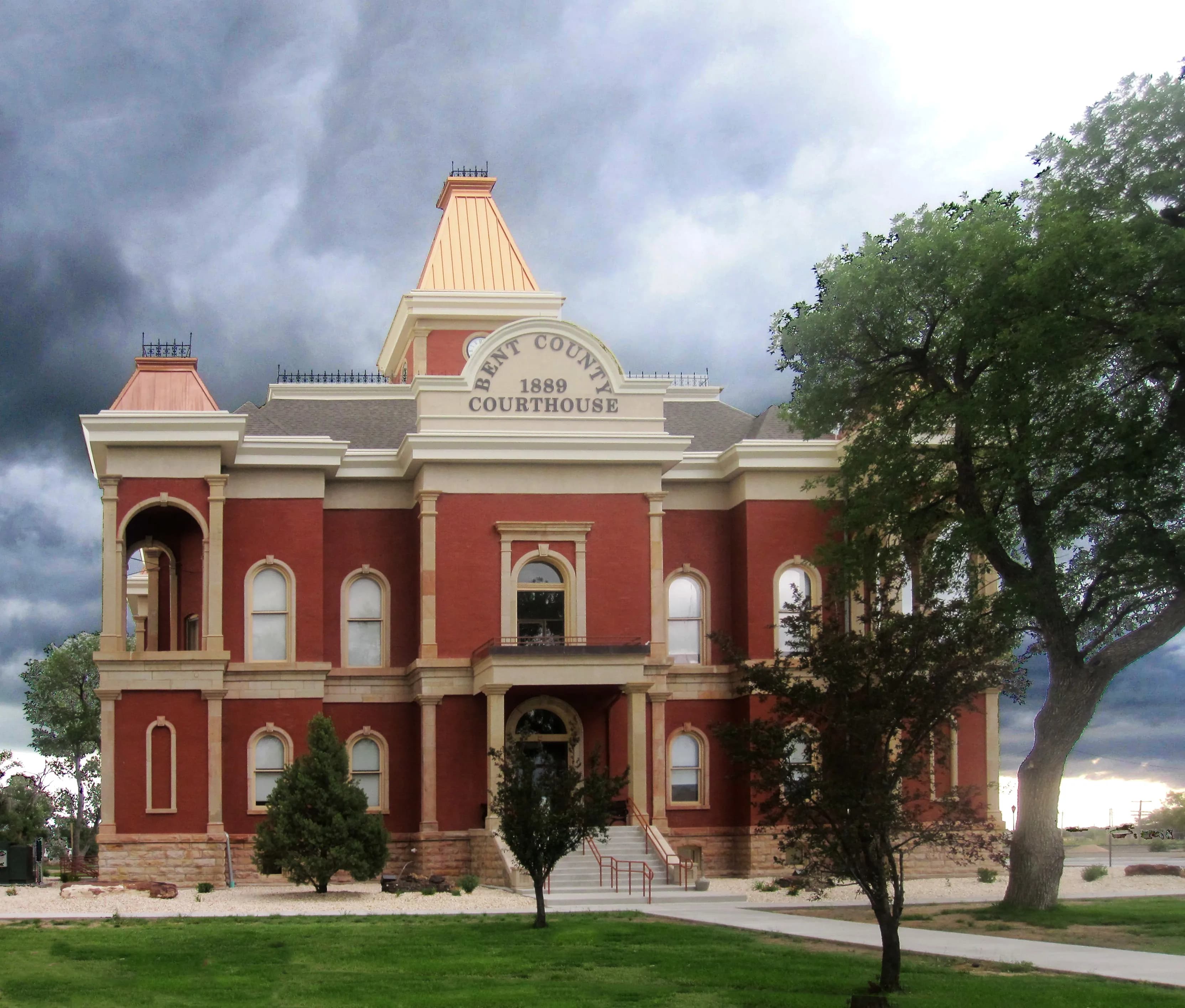
Photo: Billy Hathorn (CC BY-SA 3.0) via Wikimedia Commons
Bent County, CO Contractor directory
Excavation contractors in Bent County, CO
2 verified excavating and site work contractors serving Bent County.
County excavation guide
Ground conditions and project requirements in Bent County
Use this local research to understand soil, seasonal constraints, permits, and jobsite logistics before choosing a contractor.
Skip to 2 contractorsSoil Regime ProfileEPA Ecoregion 25, 26 (High Plains, Southwestern Tablelands)
Colorado High Plains Loess, Sandy Loam & Ogallala Caliche
Dominant Soil Order: Mollisols / Aridisols / Entisols
Parent Material: Eolian Loess and Sandy Loam over Ogallala Formation Caliche and Gravel; Pierre Shale and Niobrara Saprolite on Dissected Plains
The Colorado High Plains are deceptively easy to dig and full of subgrade traps. Deep loess and sandy loam mantle the flat to rolling tablelands, high-production trenching with standard hoe work, minimal rock, but the Plains hide two problems that dominate excavation economics. First, Ogallala caliche and cemented gravel cap the uplands; where erosion has stripped the cap, the indurated zone sits within 3 to 5 feet and stops a bucket cold, requiring ripper or hammer work for basements, ponds, and utility crossings. Second, the Pierre Shale and Niobrara subcrop weathers to dense smectitic clay that swells and slakes: trenches glisten with slick mud after rain, backfill must be moisture-conditioned, and slab-on-grade foundations demand overexcavation or piering on the Front Range urban corridor where Denver and Weld loam sits over claystone. Dryland profiles mean deep water tables (30 to 200 feet), so dewatering is rarely the issue, wind erosion, dust control, and re-vegetation of exposed spoil are. Trenchless utility runs through loess stay open with vertical walls when dry, but a thunderstorm slumps them overnight. Winter frost at 30 to 36 inches plus spring thaw softening defines the work calendar; most site work concentrates April through October.
Geographic Footprint:Eastern plains and Front Range: Denver metro, Colorado Springs, Pueblo, Fort Collins, Greeley, plus the Republican River and Arkansas Valley plains
Geotechnical Baseline
Physical Ground Conditions & Soil Properties
Shallow Bedrock (<50 in)
22.2%of county land area
Moderate rock encounters along ridges and upper slope shoulders.
High Shrink-Swell Clay
0.8%expansive soil
Low volumetric expansion risk in native subgrade.
Median Water Table Depth
12inches from surface
Shallow water table; active dewatering or sumps needed for deep trenching.
Hydric / Wetland Soils
0.9%hydric coverage
Indicates poor natural drainage and potential jurisdictional wetland pockets.
Steep Terrain (Slope >15%)
2.4%of terrain
Predominantly gentle to rolling slopes suitable for wheeled earthmoving.
Septic Severe Limitations
63.1%severe rate
High rate of conventional drainfield limitations; engineered or drip systems often required.
Dominant Soil Textures:Silt loamLoamSandy loam
Surface Stones / Boulders: 5.1% coverage
Compliance & Permitting
Earthwork Regulations & Permit Thresholds
Stormwater & Erosion Control
CDPS Construction Stormwater Permit COR100000 (CDPHE Water Quality Control Division; ≥1 acre, or <1 acre part of a common plan of development/sale ≥1 acre)
Administers NPDES stormwater discharge coverage for land-disturbing construction activities.
State Threshold:1.00 Acre
Local Threshold:Follows state
Grading Permit: No separate county grading permit
Onsite Wastewater & Utilities
Bent County Public Health , On-Site Wastewater Treatment System (OWTS) Program
Jurisdiction over septic tank permits, soil evaluation perk tests, and drainfield sizing.
Housing on Septic:55.0%
Soil Evaluation:Site and soil evaluation by CDPHE-certified OWTS Professional per Regulation 43 (soil profile pit, percolation or soil analysis, design flow tables)
811 One-Call Requirements
Colorado 811
Mandatory notice window: 48 hours prior to mechanized earthwork (excluding weekends and legal holidays).
Licensing & Clearing Permits
Contractor License Threshold: Required for earthwork contracts exceeding $0 in Colorado.
Burn Permit Season: Open-burning permit required May 1 through Feb 28 in most counties; Jun-Sep fire bans common in mountain and plains countiesAuthority: CDPHE Air Pollution Control Division open-burning permit (Regulation 7); county fire restrictions/bans via sheriff or fire district
Weather & Ecology
Seasonal Constraints & Clearing Windows
Design Frost Depth
36inches
Building code minimum depth for footing frost protection.
Frozen Ground Days
0days / year
Typical days with sub-freezing soil conditions affecting digging.
Wet Season Months
May, June, July, August
Peak precipitation window requiring sediment traps and soil aeration.
Supply Chain & Hazards
Logistics, Aggregate Sources & Geohazards
Aggregate & Material Supply
Crushing Operation #5 (Lamar)
Nearest active quarry: 29.8 miles haul distance.(3 active crushed stone/sand operations within 50 miles).
Flood & Hazard Overlay
NWI Wetlands:4.3%jurisdictional coverage
Karst Terrain & Sinkhole Risk: Low
50.2% of county underlain by soluble carbonate rock formations.
HUC8 Primary Watersheds:Upper Arkansas-Lake Meredith, Horse, Upper Arkansas-John Martin Reservoir, Purgatoire
Public conservation land: 15.9% (USGS PAD-US).
Area-specific FAQ
Do I need to call before digging in Bent County?
Yes. You should contact Colorado 811 at least 2 working days before any digging so underground lines can be marked.
How deep do footings need to be in Colorado?
In Colorado, footings typically need to extend below the frost line, which is around 36 inches here. A local contractor will confirm the code requirement for your site.
Verified local listings
Excavation contractors serving Bent County
2 verified listings