v3 Syntropy
Leander, TXWilliamson County
demolition, excavation, foundations, grading, land clearing, site prep
VerifiedInsured10 years in business
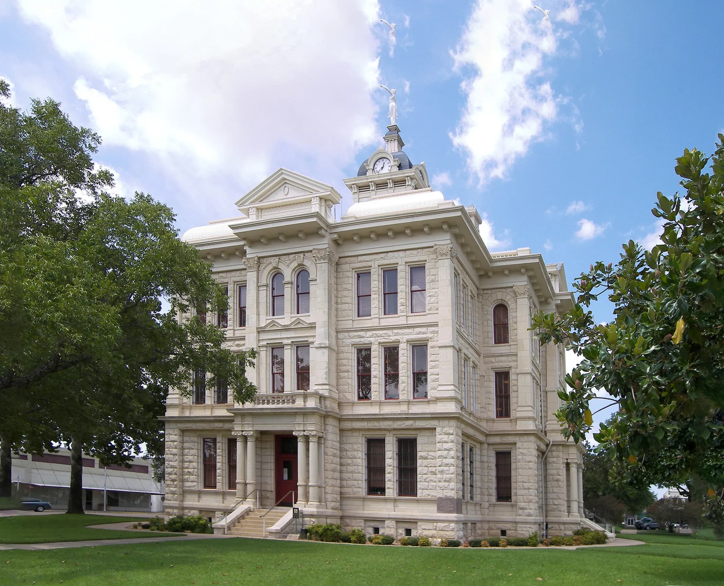
Photo: Larry D. Moore (CC BY 4.0) via Wikimedia Commons
Milam County, TX Contractor directory
3 verified excavating and site work contractors serving Milam County.
County excavation guide
Use this local research to understand soil, seasonal constraints, permits, and jobsite logistics before choosing a contractor.
Skip to 3 contractorsThe Blackland Prairie carries some of the highest shrink-swell clays in Texas. SSURGO mapping shows Houston Black and Heiden, Wilson and Crockett, and Windthorst and Bastsil soils on the Cross Timbers edge, with Vertisols, Mollisols, and Alfisols. Dry summers open deep shrink cracks across the surface, and wet winters heave slabs and pipe. Wet clay turns to a sticky mud that clogs equipment, while dry clay is hard to break. Clay soils control foundation behavior more than any other property here. Drainage is slow across the flat prairies, so water ponds on the surface after heavy rain. Cretaceous marl and clay form the parent material, so the clay shrinks and swells across the prairie. Shrink cracks open in dry summers and close after rain, so the surface moves with the seasons. Wet clay becomes sticky mud, and as it dries it hardens into clods that resist digging.
Deep soil mantle; rock refusal rare for standard basement or trench cuts.
Severe expansive clay; pad lime stabilization or undercut replacement typically required.
Moderate depth; seasonal wet perched water tables possible in spring.
Indicates poor natural drainage and potential jurisdictional wetland pockets.
Predominantly gentle to rolling slopes suitable for wheeled earthmoving.
Standard gravity absorption fields viable in majority of soil types.
Administers NPDES stormwater discharge coverage for land-disturbing construction activities.
Jurisdiction over septic tank permits, soil evaluation perk tests, and drainfield sizing.
Mandatory notice window: 48 hours prior to mechanized earthwork (excluding weekends and legal holidays).
Building code minimum depth for footing frost protection.
Typical days with sub-freezing soil conditions affecting digging.
Peak precipitation window requiring sediment traps and soil aeration.
Nearest active quarry: 31.9 miles haul distance.(18 active crushed stone/sand operations within 50 miles).
11.3% of county underlain by soluble carbonate rock formations.
Yes. You should contact Texas 811 at least 2 working days before any digging so underground lines can be marked.
In Texas, footings typically need to extend below the frost line, which is around 12 inches here. A local contractor will confirm the code requirement for your site.
Verified local listings
3 verified listings
Leander, TXWilliamson County
demolition, excavation, foundations, grading, land clearing, site prep
VerifiedInsured10 years in business