

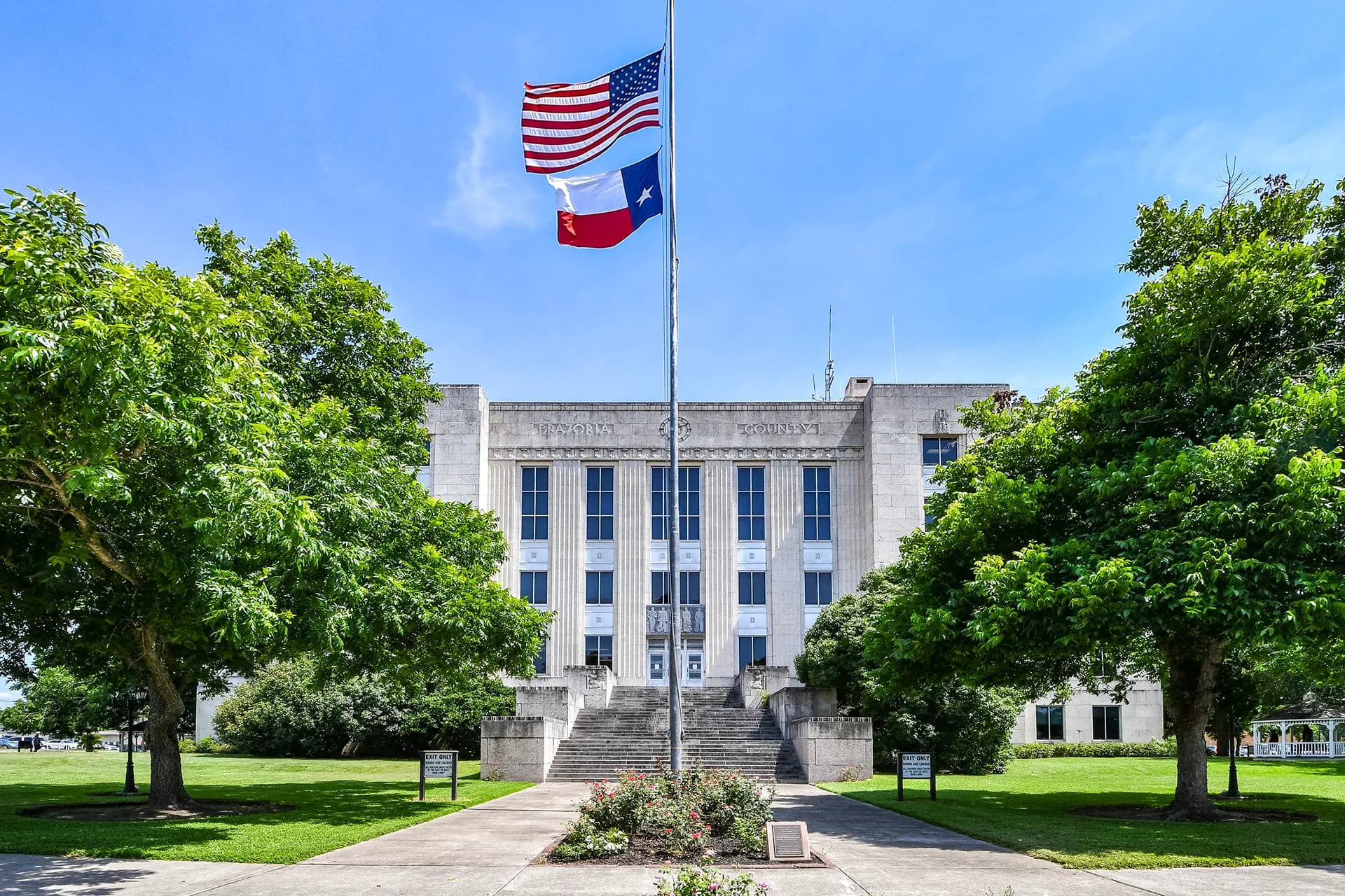
Photo: Webru46 (CC BY-SA 4.0) via Wikimedia Commons
Brazoria County, TX Contractor directory
Excavation contractors in Brazoria County, TX
12 verified excavating and site work contractors serving Brazoria County.
County excavation guide
Ground conditions and project requirements in Brazoria County
Use this local research to understand soil, seasonal constraints, permits, and jobsite logistics before choosing a contractor.
Skip to 12 contractorsSoil Regime ProfileEPA Ecoregion 34 (Western Gulf Coastal Plain)
Gulf Coastal Prairie Clays & Flatwoods
Dominant Soil Order: Vertisols / Alfisols / Entisols
Parent Material: Quaternary Gulf Coastal Plain Clay, Silt, and Sand, with Fluvial and Marine Deposits
The Gulf Coastal Prairie is flat, wet, and clay-heavy. SSURGO mapping shows Lake Charles and Katy, Victoria, and Aransas soils near the coast, with Vertisols, Alfisols, and Entisols. Water tables are high and drainage is poor. Shrink-swell clays are severe, so slabs and pipe move as the soil wets and dries. Wet clay is weak and sticky, and equipment sinks in it. Deep trenches fill with water in the coastal flats. The lowest ground stays saturated after heavy rain, and water stands on the surface for days. Clay pads lose their workable window when rain falls, and wet weather can last for weeks. Coastal flats include saltwater wetlands along the shore, where the surface stays soft and wet. Quaternary clay, silt, and sand deposits form the parent material.
Geographic Footprint:Texas gulf coastal prairie counties: Aransas, Austin, Brazoria, Calhoun, Chambers, Colorado, Fort Bend, Galveston, Goliad, Harris, Jackson, Lavaca, Matagorda, Refugio, San Patricio, Victoria, Waller, Wharton, Fayette, DeWitt, Lee, Bastrop, Washington, Gonzales
Geotechnical Baseline
Physical Ground Conditions & Soil Properties
Shallow Bedrock (<50 in)
0.0%of county land area
Deep soil mantle; rock refusal rare for standard basement or trench cuts.
High Shrink-Swell Clay
59.7%expansive soil
Severe expansive clay; pad lime stabilization or undercut replacement typically required.
Median Water Table Depth
9inches from surface
Shallow water table; active dewatering or sumps needed for deep trenching.
Hydric / Wetland Soils
19.4%hydric coverage
Indicates poor natural drainage and potential jurisdictional wetland pockets.
Steep Terrain (Slope >15%)
0.0%of terrain
Predominantly gentle to rolling slopes suitable for wheeled earthmoving.
Septic Severe Limitations
94.9%severe rate
High rate of conventional drainfield limitations; engineered or drip systems often required.
Dominant Soil Textures:ClayClay loamLoam
Surface Stones / Boulders: 0.0% coverage
Compliance & Permitting
Earthwork Regulations & Permit Thresholds
Stormwater & Erosion Control
TCEQ Construction General Permit TXR150000 (Notice of Intent required ≥1 acre; SWPPP required)
Administers NPDES stormwater discharge coverage for land-disturbing construction activities.
State Threshold:1.00 Acre
Local Threshold:Follows state
Grading Permit: No separate county grading permit
Onsite Wastewater & Utilities
Brazoria County permitting authority / TCEQ Region Office
Jurisdiction over septic tank permits, soil evaluation perk tests, and drainfield sizing.
Housing on Septic:35.0%
Soil Evaluation:Site evaluation by licensed site evaluator; system design per 30 TAC Chapter 285 (soil analysis, absorption capacity)
811 One-Call Requirements
Texas 811
Mandatory notice window: 48 hours prior to mechanized earthwork (excluding weekends and legal holidays).
Licensing & Clearing Permits
Contractor License Threshold: Required for earthwork contracts exceeding $0 in Texas.
Burn Permit Season: Outdoor burning allowed sunrise–sunset except TCEQ-declared high-pollution-advisory days; county burn bans common Jun–SepAuthority: TCEQ outdoor burning rules (30 TAC 111) + county burn bans by Commissioners Court
Weather & Ecology
Seasonal Constraints & Clearing Windows
Design Frost Depth
0inches
Building code minimum depth for footing frost protection.
Frozen Ground Days
0days / year
Typical days with sub-freezing soil conditions affecting digging.
Wet Season Months
June
Peak precipitation window requiring sediment traps and soil aeration.
Supply Chain & Hazards
Logistics, Aggregate Sources & Geohazards
Aggregate & Material Supply
Jdb Services Pit
Nearest active quarry: 9.8 miles haul distance.(17 active crushed stone/sand operations within 50 miles).
Flood & Hazard Overlay
FEMA 100-Yr Flood:46.9%(100% NFHL digital map coverage)
NWI Wetlands:24.0%jurisdictional coverage
Karst Terrain & Sinkhole Risk: Low
0.0% of county underlain by soluble carbonate rock formations.
HUC8 Primary Watersheds:Buffalo-San Jacinto, San Bernard, Lower Brazos, West Galveston Bay, Austin-Oyster
Public conservation land: 9.1% (USGS PAD-US).
Area-specific FAQ
Do I need to call before digging in Brazoria County?
Yes. You should contact Texas 811 at least 2 working days before any digging so underground lines can be marked.
How deep do footings need to be in Texas?
In Texas, footings typically need to extend below the frost line, which is around 12 inches here. A local contractor will confirm the code requirement for your site.
Verified local listings
Excavation contractors serving Brazoria County
12 verified listings

Wagner Construction
Santa Fe, TXBrazoria County
excavation, paving prep, pond water management, site prep
No reviews yet