

Steer Clear Land Clearing
Panama city, FLWashington County
excavation, grading, site prep, land clearing, demolition, driveways
VerifiedInsured
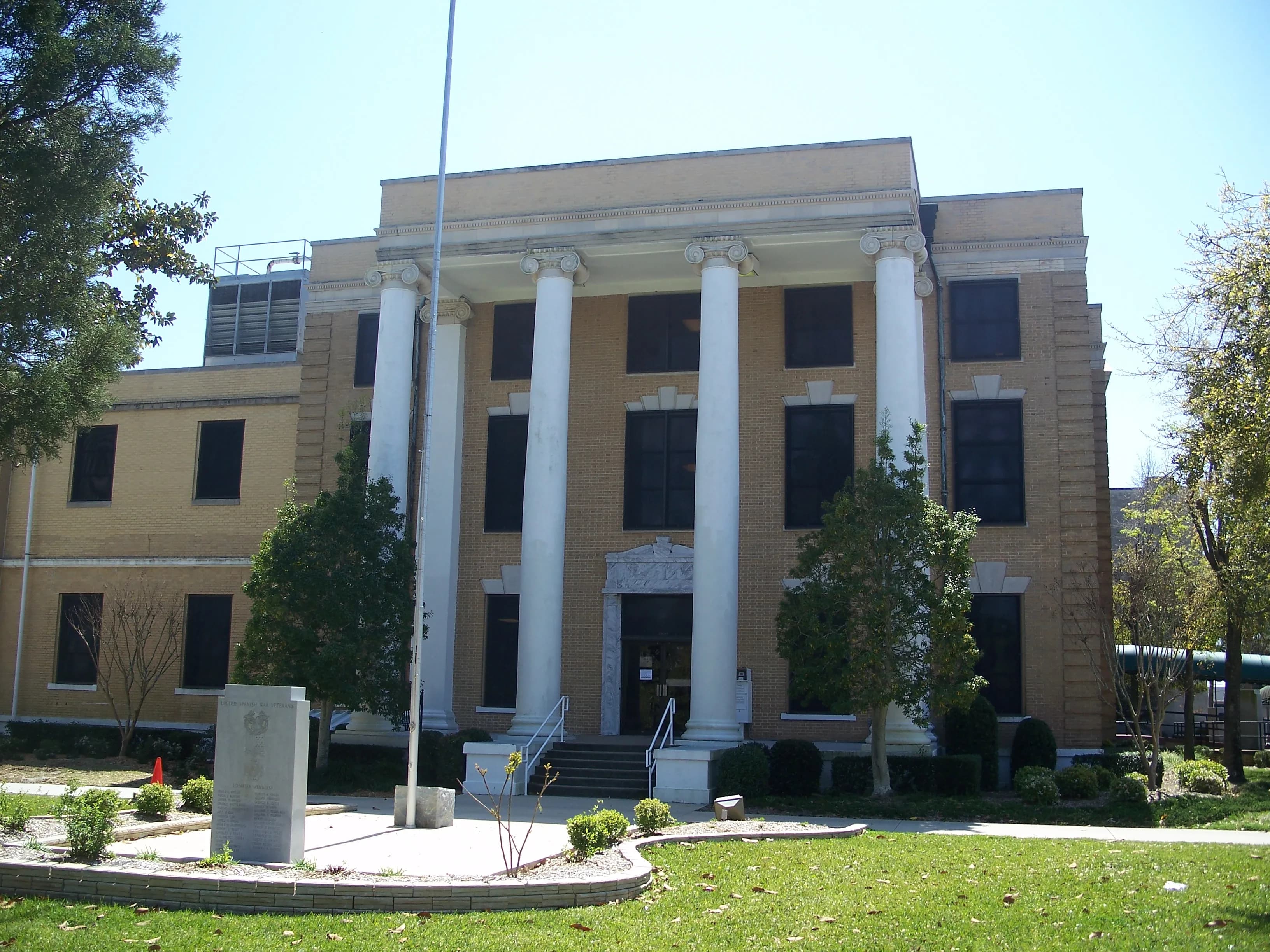
Photo: Ebyabe (CC BY-SA 3.0) via Wikimedia Commons
Bay County, FL Contractor directory
36 verified excavating and site work contractors serving Bay County.
County excavation guide
Use this local research to understand soil, seasonal constraints, permits, and jobsite logistics before choosing a contractor.
Skip to 36 contractorsNorth Florida and the Panhandle are rolling Coastal Plain uplands, unlike the flat peninsula. SSURGO mapping shows Troup, Orangeburg, Dothan, and Faceville as the dominant series, with sandy loam surfaces over clayey subsoils. The surface digs well, but clay subsoils are plastic and swell and shrink with moisture, so slabs move with changes in moisture. Slopes are gentle to moderate, and cut slopes in sand and clay erode under heavy rain. Limestone sits close to the surface in parts of the river valleys, and sinkholes appear where it does. Clay subsoils hold water after rain, so surface water stays on the flatter ground. Local relief is greater than on the peninsula, so grades and drainage paths change from one site to the next. Sandy loam surfaces drain freely, so rain soaks in before it runs across the slope. The clay subsoil below holds water, which keeps it wet in the wet season.
Deep soil mantle; rock refusal rare for standard basement or trench cuts.
Low volumetric expansion risk in native subgrade.
Shallow water table; active dewatering or sumps needed for deep trenching.
Indicates poor natural drainage and potential jurisdictional wetland pockets.
Predominantly gentle to rolling slopes suitable for wheeled earthmoving.
High rate of conventional drainfield limitations; engineered or drip systems often required.
Administers NPDES stormwater discharge coverage for land-disturbing construction activities.
Jurisdiction over septic tank permits, soil evaluation perk tests, and drainfield sizing.
Mandatory notice window: 48 hours prior to mechanized earthwork (excluding weekends and legal holidays).
Building code minimum depth for footing frost protection.
Typical days with sub-freezing soil conditions affecting digging.
Peak precipitation window requiring sediment traps and soil aeration.
Nearest active quarry: 16.1 miles haul distance.(6 active crushed stone/sand operations within 50 miles).
5.5% of county underlain by soluble carbonate rock formations.
Yes. You should contact Sunshine State 811 at least 2 working days before any digging so underground lines can be marked.
Verified local listings
36 verified listings (showing first 20)
Panama city, FLWashington County
excavation, grading, site prep, land clearing, demolition, driveways
VerifiedInsured


Youngstown, FLBay County
demolition, erosion control, excavation, grading, hauling trucking, land clearing
Lynn Haven, FLBay County
driveways, excavation, grading, hauling trucking, land clearing, site prep


No reviews yet
No reviews yet

Southport, FLBay County
driveways, erosion control, excavation, grading, land clearing, paving prep
Lynn Haven, FLBay County
excavation, grading, hauling trucking, land clearing, site prep
Port St Joe, FLBay County
concrete cutting removal, demolition, driveways, excavation, grading, hauling trucking
Port St Joe, FLBay County
excavation, grading, land clearing
25 years in business